alb1653548
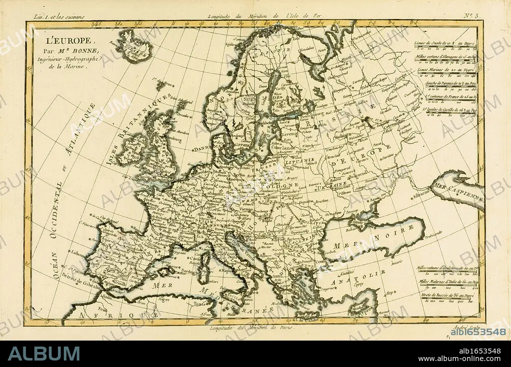
Map of Europe, circa 1760. From 'Atlas de Toutes Les Parties Connues du Globe Terrestre ' by Cartographer Rigobert Bonne. Published Geneva circa. 1760.
| Teilen |
|---|
 Pinterest Pinterest |
 Twitter Twitter |
 Facebook Facebook |
 Link kopieren Link kopieren |
 Email Email |
|
Zu einem anderen Lightbox hinzufügen |
|
Zu einem anderen Lightbox hinzufügen |


Haben Sie bereits ein Konto? Anmelden
Sie haben kein Konto? Registrieren
Dieses Bild kaufen

Untertitel:
Siehe automatische Übersetzung
Map of Europe, circa 1760. From 'Atlas de Toutes Les Parties Connues du Globe Terrestre ' by Cartographer Rigobert Bonne. Published Geneva circa. 1760.
Bildnachweis:
Album / Universal History Archive/Universal Images Group
Freigaben (Releases):
Model: Nein - Eigentum: Nein
Rechtefragen?
Rechtefragen?
Bildgröße:
5670 x 3780 px | 61.3 MB
Druckgröße:
48.0 x 32.0 cm | 18.9 x 12.6 in (300 dpi)
Schlüsselwörter:
EUROPA • FARBE • FARBIG • GEOGRAFIE • GEOGRAPHIE • GRAVUR • HORIZONTALE • ILLUSTRATION • ILLUSTRATIONS • KARTE (KARTHOGRAFIE) • KARTEN • KARTHOGRAFIE • KARTHOGRAPHIE • KARTOGRAFIE (KARTE) • KARTOGRAPHIE • KEN • KUECHENGESCHIRR: TELLER • LANDKARTE • PLAN (KARTOGRAPHIE) • PLATTE (GESCHIRR) • STICH (KUNST) • TELLER • WISSENSCH.: KARTOGRAPHIE
