alb2155951
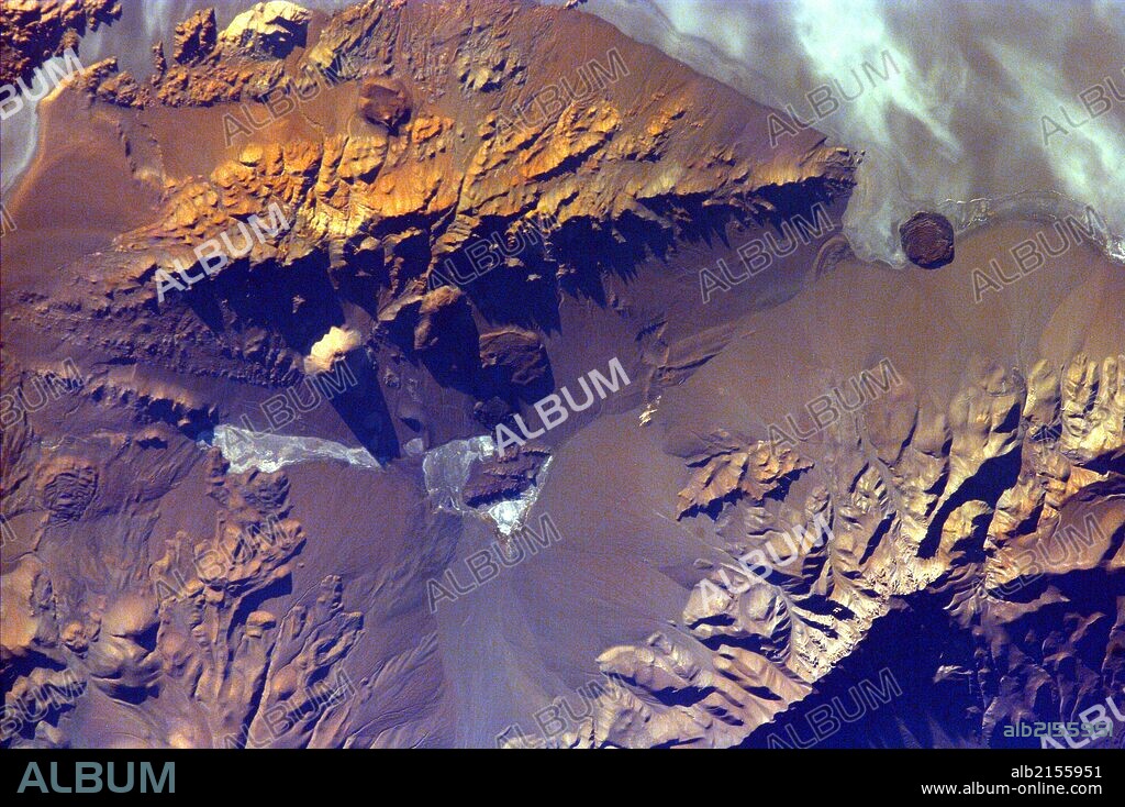
The Andes Mountains are part of the Southern Cordillera formed from subduction zone volcanism at the convergent boundary of the Nazca plate and the South American plate. Aracar volcano (summit elev. 6,082 m) is one of many volcanoes in the Andes Range, located just east of the Argentina-Chile border. February 20, 2000. Satellite image.

|
Zu einem anderen Lightbox hinzufügen |
|
Zu einem anderen Lightbox hinzufügen |


Haben Sie bereits ein Konto? Anmelden
Sie haben kein Konto? Registrieren
Dieses Bild kaufen

Titel:
The Andes Mountains are part of the Southern Cordillera formed from subduction zone volcanism at the convergent boundary of the Nazca plate and the South American plate. Aracar volcano (summit elev. 6,082 m) is one of many volcanoes in the Andes Range, located just east of the Argentina-Chile border. February 20, 2000. Satellite image.
Untertitel:
Siehe automatische Übersetzung
The Andes Mountains are part of the Southern Cordillera formed from subduction zone volcanism at the convergent boundary of the Nazca plate and the South American plate. Aracar volcano (summit elev. 6,082 m) is one of many volcanoes in the Andes Range, located just east of the Argentina-Chile border. February 20, 2000. Satellite image. (Photo by: Universal History Archive/UIG via Getty Images)
Bildnachweis:
Album / Universal Images Group / Universal Science Images \ UIG
Freigaben (Releases):
Model: Nein - Eigentum: Nein
Rechtefragen?
Rechtefragen?
Bildgröße:
5100 x 3393 px | 49.5 MB
Druckgröße:
43.2 x 28.7 cm | 17.0 x 11.3 in (300 dpi)
Schlüsselwörter:
 Pinterest
 Twitter
 Facebook
 Link kopieren
 Email
Email
