alb3120066
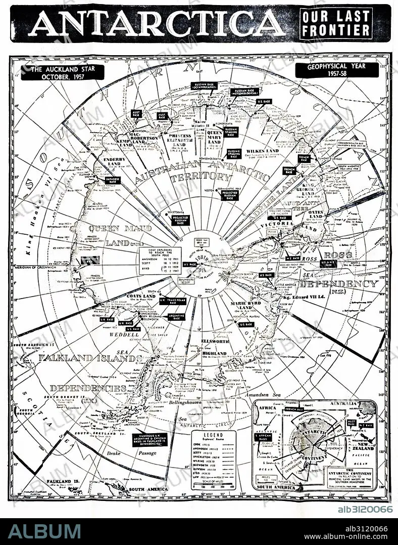
Antarctica map showing the various national zones.
| Teilen |
|---|
 Pinterest Pinterest |
 Twitter Twitter |
 Facebook Facebook |
 Link kopieren Link kopieren |
 Email Email |
|
Zu einem anderen Lightbox hinzufügen |
|
Zu einem anderen Lightbox hinzufügen |


Haben Sie bereits ein Konto? Anmelden
Sie haben kein Konto? Registrieren
Dieses Bild kaufen

Titel:
Antarctica map showing the various national zones.
Untertitel:
Siehe automatische Übersetzung
Antarctica map showing the various national zones or bases for countries including the UK; France; USA; Russia, 1958.
Bildnachweis:
Album / Universal Images Group / Universal History Archive
Freigaben (Releases):
Model: Nein - Eigentum: Nein
Rechtefragen?
Rechtefragen?
Bildgröße:
4016 x 5222 px | 60.0 MB
Druckgröße:
34.0 x 44.2 cm | 13.4 x 17.4 in (300 dpi)
Schlüsselwörter:
