alb4193580
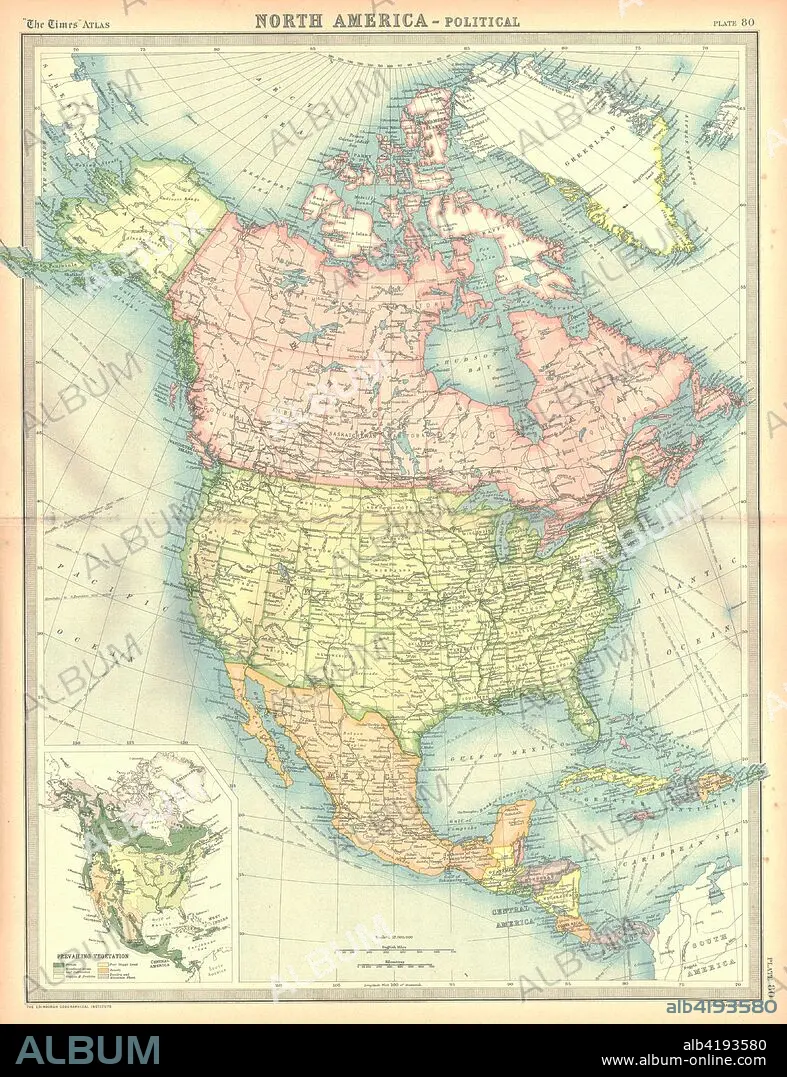
Political map of North America. Artist: Unknown.
| Teilen |
|---|
 Pinterest Pinterest |
 Twitter Twitter |
 Facebook Facebook |
 Link kopieren Link kopieren |
 Email Email |
|
Zu einem anderen Lightbox hinzufügen |
|
Zu einem anderen Lightbox hinzufügen |


Haben Sie bereits ein Konto? Anmelden
Sie haben kein Konto? Registrieren
Dieses Bild kaufen

Titel:
Political map of North America. Artist: Unknown.
Untertitel:
Siehe automatische Übersetzung
Political map of North America. Map showing Canada, the United States, Mexico, the Caribbean and Central America. Plate 80 from The Times Atlas.
Bildnachweis:
Album / Heritage Images / The Print Collector
Freigaben (Releases):
Model: Nein - Eigentum: Nein
Rechtefragen?
Rechtefragen?
Bildgröße:
3555 x 4624 px | 47.0 MB
Druckgröße:
30.1 x 39.1 cm | 11.8 x 15.4 in (300 dpi)
Schlüsselwörter:
