alb3911730
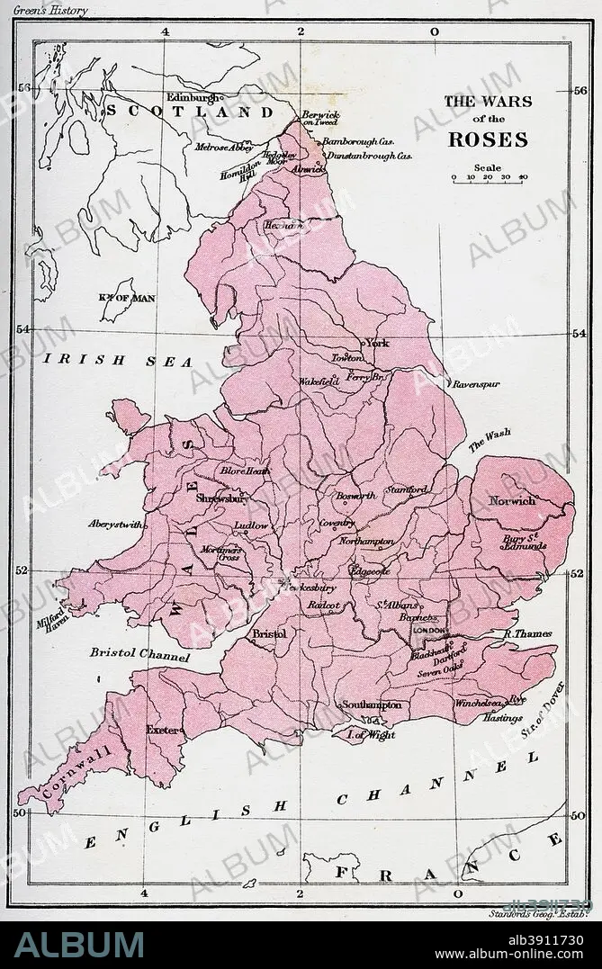
Map of the Wars of the Roses, 15th century (1893). Artist: Unknown
| Teilen |
|---|
 Pinterest Pinterest |
 Twitter Twitter |
 Facebook Facebook |
 Link kopieren Link kopieren |
 Email Email |
|
Zu einem anderen Lightbox hinzufügen |
|
Zu einem anderen Lightbox hinzufügen |


Haben Sie bereits ein Konto? Anmelden
Sie haben kein Konto? Registrieren
Dieses Bild kaufen

Titel:
Map of the Wars of the Roses, 15th century (1893). Artist: Unknown
Untertitel:
Siehe automatische Übersetzung
Map of the Wars of the Roses, 15th century (1893). The Wars of the Roses was a civil war fought over the throne of England between adherents of the House of Lancaster and the House of York. The intermittent conflict lasted from 1455 until the decisive defeat of Richard III by Henry Tudor at Bosworth Field in 1485. An illustration from A Short History of the English People, by John Richard Green, illustrated edition, Volume II, Macmillan and Co, London, New York, 1893.
Bildnachweis:
Album / The Print Collector / Heritage Images
Freigaben (Releases):
Model: Nein - Eigentum: Nein
Rechtefragen?
Rechtefragen?
Bildgröße:
3378 x 5170 px | 50.0 MB
Druckgröße:
28.6 x 43.8 cm | 11.3 x 17.2 in (300 dpi)
Schlüsselwörter:
