alb3801496
Atlas of al-Idrisi
| Teilen |
|---|
 Pinterest Pinterest |
 Twitter Twitter |
 Facebook Facebook |
 Link kopieren Link kopieren |
 Email Email |
|
Zu einem anderen Lightbox hinzufügen |
|
Zu einem anderen Lightbox hinzufügen |


Haben Sie bereits ein Konto? Anmelden
Sie haben kein Konto? Registrieren
Dieses Bild kaufen

Titel:
Atlas of al-Idrisi
Untertitel:
Siehe automatische Übersetzung
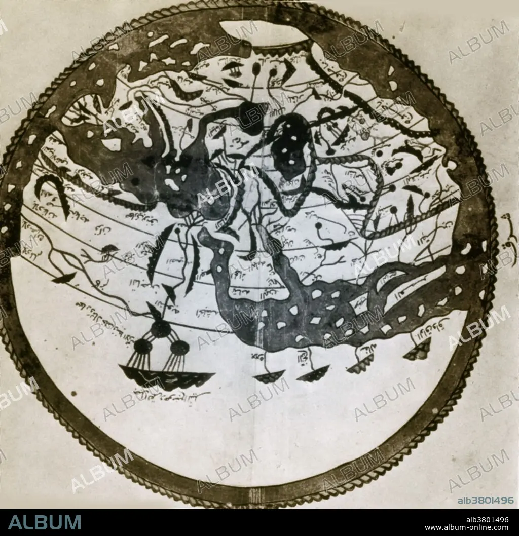
Arab geographers understood the outlines of Asia, Europe and North Africa by VI/12th century; their knowledge was summed up by the great atlas of al-Idrisi of 549/1154. It places south at the top; the map is inverted to make it easily recognizable.
Persönlichkeiten:
Bildnachweis:
Album / Science Source / New York Public Library
Freigaben (Releases):
Model: Nein - Eigentum: Nein
Rechtefragen?
Rechtefragen?
Bildgröße:
3384 x 3321 px | 32.2 MB
Druckgröße:
28.7 x 28.1 cm | 11.3 x 11.1 in (300 dpi)
Schlüsselwörter:
