alb9610231
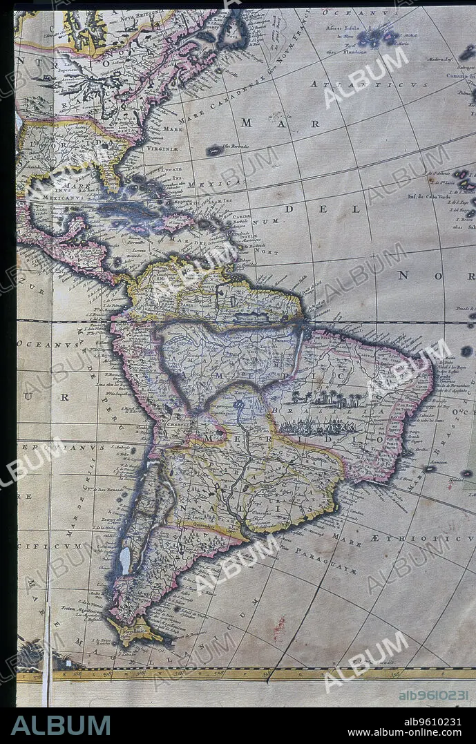
Map of South America, West Indies, Central America and east coast of North America Atlas.
| Teilen |
|---|
 Pinterest Pinterest |
 Twitter Twitter |
 Facebook Facebook |
 Link kopieren Link kopieren |
 Email Email |
|
Zu einem anderen Lightbox hinzufügen |
|
Zu einem anderen Lightbox hinzufügen |


Haben Sie bereits ein Konto? Anmelden
Sie haben kein Konto? Registrieren
Dieses Bild kaufen

Untertitel:
Siehe automatische Übersetzung
Map of South America, West Indies, Central America and east coast of North America Atlas.
Bildnachweis:
Album / Mithra/Index/Heritage Images
Freigaben (Releases):
Model: Nein - Eigentum: Nein
Rechtefragen?
Rechtefragen?
Bildgröße:
3675 x 5458 px | 57.4 MB
Druckgröße:
31.1 x 46.2 cm | 12.2 x 18.2 in (300 dpi)
