alb4023320
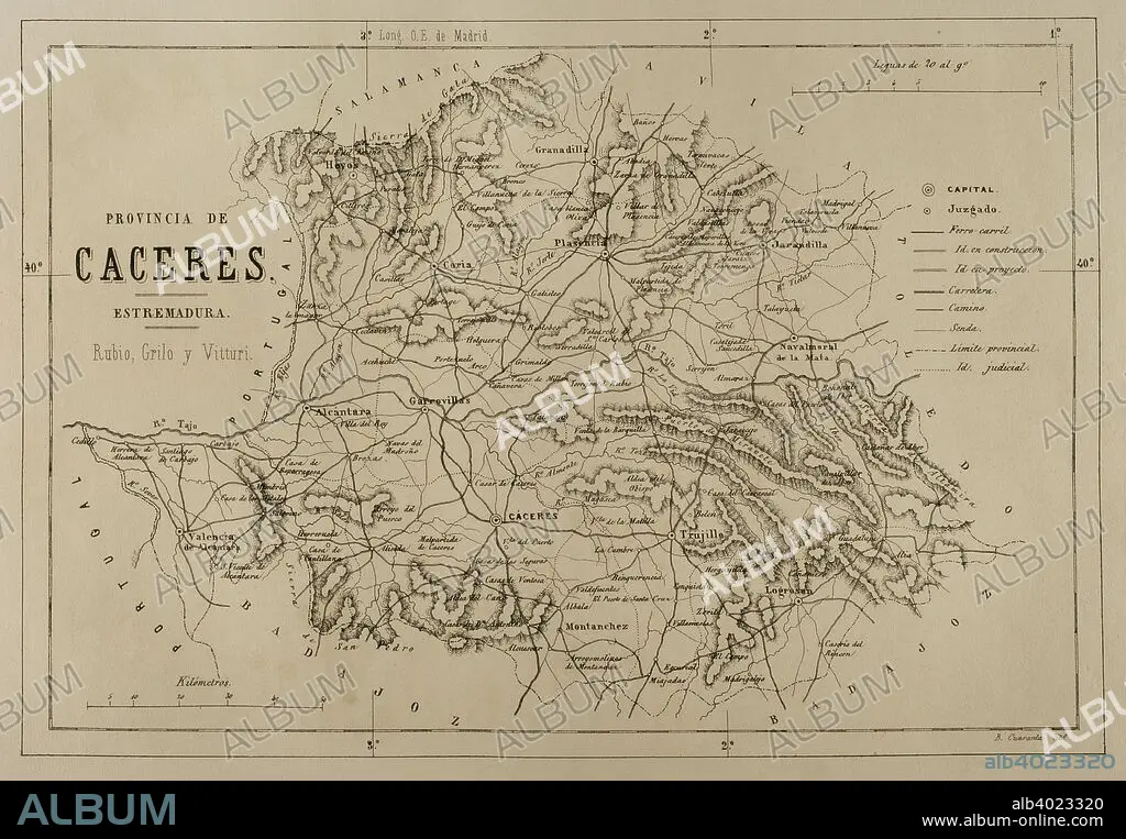
Map of the province of Caceres, Extremadura, Spain. Cronica General de Espan_a, Historia Ilustrada y Descriptiva de sus Provincias. Extremadura, 1870.
| Teilen |
|---|
 Pinterest Pinterest |
 Twitter Twitter |
 Facebook Facebook |
 Link kopieren Link kopieren |
 Email Email |
|
Zu einem anderen Lightbox hinzufügen |
|
Zu einem anderen Lightbox hinzufügen |


Haben Sie bereits ein Konto? Anmelden
Sie haben kein Konto? Registrieren
Dieses Bild kaufen

Untertitel:
Siehe automatische Übersetzung
Map of the province of Caceres, Extremadura, Spain. Cronica General de Espan_a, Historia Ilustrada y Descriptiva de sus Provincias. Extremadura, 1870.
Bildnachweis:
Album / Prisma
Freigaben (Releases):
Model: Nein - Eigentum: Nein
Rechtefragen?
Rechtefragen?
Bildgröße:
4961 x 3439 px | 48.8 MB
Druckgröße:
42.0 x 29.1 cm | 16.5 x 11.5 in (300 dpi)
Schlüsselwörter:
EUROPA • EUROPAEER (F M) • EUROPAEER • EUROPÄER (F M) • EUROPÄER • EUROPÄISCH • FABEL • GEGEND • GEOGRAFIE • GEOGRAPHIE • GESCHICHTE • GRAVUR • KARTE (KARTHOGRAFIE) • KARTEN • KARTHOGRAFIE • KARTHOGRAPHIE • KARTOGRAFIE (KARTE) • KARTOGRAPHIE • LANDKARTE • LEGENDE • LEGENDE, SAGE • LITHOGRAPH • LITHOGRAPHIE • PLAN (KARTOGRAPHIE) • PROVINZ • SPANIEN • STICH (KUNST) • TECHNIK: LITHOGRAPHIE • TECHNIK: ZEICHNUNG • WISSENSCH.: KARTOGRAPHIE • ZEICHNEN • ZEICHNUNG • ZEITGESCHICHTE
