alb4201438
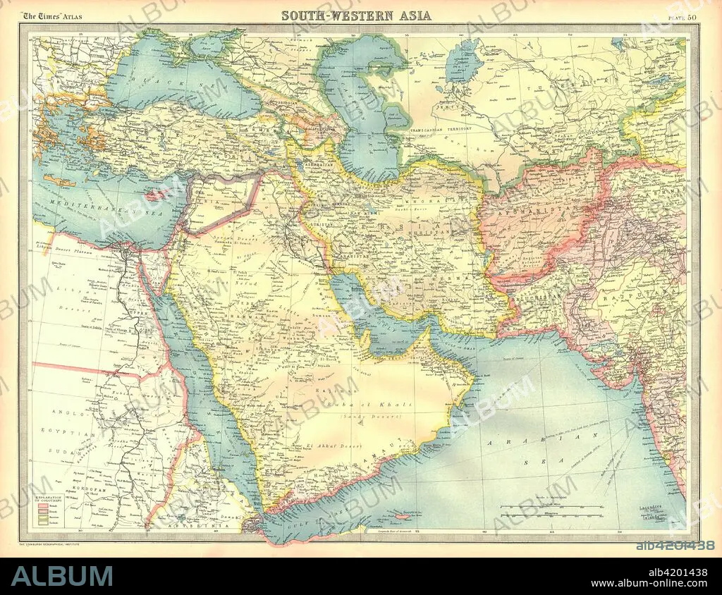
Political map of South Western Asia. Artist: Unknown.
| Teilen |
|---|
 Pinterest Pinterest |
 Twitter Twitter |
 Facebook Facebook |
 Link kopieren Link kopieren |
 Email Email |
|
Zu einem anderen Lightbox hinzufügen |
|
Zu einem anderen Lightbox hinzufügen |


Haben Sie bereits ein Konto? Anmelden
Sie haben kein Konto? Registrieren
Dieses Bild kaufen

Titel:
Political map of South Western Asia. Artist: Unknown.
Untertitel:
Siehe automatische Übersetzung
Political map of South Western Asia. Map of the Near and Middle East, showing parts of East Africa and the Arabian Peninsula. Plate 50 from The Times Atlas.
Bildnachweis:
Album / Heritage Images / The Print Collector
Freigaben (Releases):
Model: Nein - Eigentum: Nein
Rechtefragen?
Rechtefragen?
Bildgröße:
4600 x 3553 px | 46.8 MB
Druckgröße:
38.9 x 30.1 cm | 15.3 x 11.8 in (300 dpi)
Schlüsselwörter:
