alb3818331
Map of New Spain (Mexico), 16th Century
| Teilen |
|---|
 Pinterest Pinterest |
 Twitter Twitter |
 Facebook Facebook |
 Link kopieren Link kopieren |
 Email Email |
|
Zu einem anderen Lightbox hinzufügen |
|
Zu einem anderen Lightbox hinzufügen |


Haben Sie bereits ein Konto? Anmelden
Sie haben kein Konto? Registrieren
Dieses Bild kaufen

Titel:
Map of New Spain (Mexico), 16th Century
Untertitel:
Siehe automatische Übersetzung
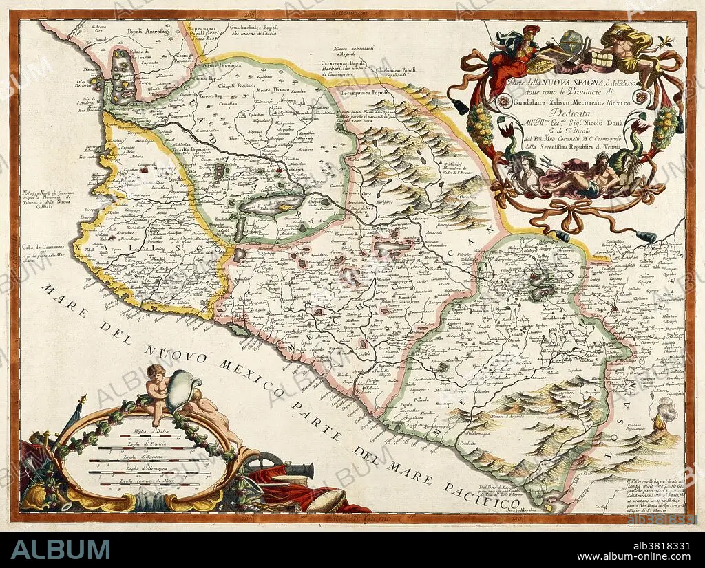
A 16th century map of New Spain or Mexico by Diego Gutiérrez, who was appointed cartographer of the Casa de la Contratacion (House of Trade) in 1554. Casa de la Contratacion was a government agency of the Spanish Empire that existed from the 16th to the 18th centuries and attempted to control all Spanish exploration and colonization.
Bildnachweis:
Album / Science Source / Getty Research Institute
Freigaben (Releases):
Model: Nein - Eigentum: Nein
Rechtefragen?
Rechtefragen?
Bildgröße:
5064 x 3823 px | 55.4 MB
Druckgröße:
42.9 x 32.4 cm | 16.9 x 12.7 in (300 dpi)
Schlüsselwörter:
