alb5528982
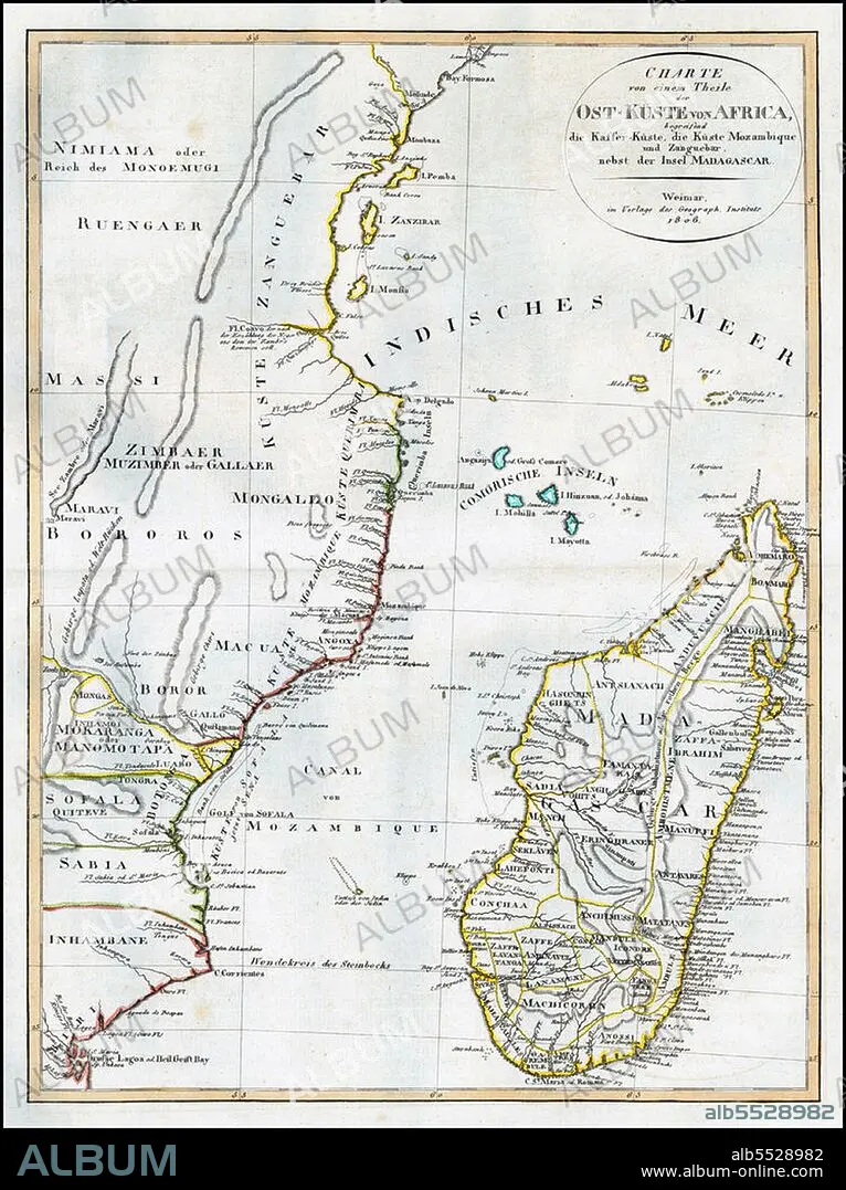
East Africa / Indian Ocean: Map of East Africa with Mozambique, Zanzibar and Madagascar. Weimar Geographische Institut,1806.
| Teilen |
|---|
 Pinterest Pinterest |
 Twitter Twitter |
 Facebook Facebook |
 Link kopieren Link kopieren |
 Email Email |
|
Zu einem anderen Lightbox hinzufügen |
|
Zu einem anderen Lightbox hinzufügen |


Haben Sie bereits ein Konto? Anmelden
Sie haben kein Konto? Registrieren
Dieses Bild kaufen

Titel:
East Africa / Indian Ocean: Map of East Africa with Mozambique, Zanzibar and Madagascar. Weimar Geographische Institut,1806.
Untertitel:
Siehe automatische Übersetzung
The Swahili Coast refers to the coast or coastal area of East Africa inhabited by the Swahili people, mainly Kenya, Tanzania, and north Mozambique. The term may also include the islands such as Zanzibar, Pate or Comoros which lie off the Swahili Coast. The Swahili Coast has a distinct culture, religion and geography.
Bildnachweis:
Album / Pictures from History/Universal Images Group
Freigaben (Releases):
Model: Nein - Eigentum: Nein
Rechtefragen?
Rechtefragen?
Bildgröße:
3600 x 4814 px | 49.6 MB
Druckgröße:
30.5 x 40.8 cm | 12.0 x 16.0 in (300 dpi)
Schlüsselwörter:
AFRIKA • AFRIKANER • AFRIKANERIN • AFRIKANISCH • GESCHICHTE • ISLAM • KARTE (KARTHOGRAFIE) • KARTE • KARTEN • KARTHOGRAFIE • KARTHOGRAPHIE • KARTOGRAFIE (KARTE) • KARTOGRAPHIE • LANDKARTE • MOHAMMEDANER • MOHAMMEDANERIN • MOSLEM • MOSLEMIN • MUSLIM • MUSLIMIN • PLAN (KARTOGRAPHIE) • RELIGION • SUAHELI • WISSENSCH.: KARTOGRAPHIE • ZEITGESCHICHTE
