alb3124106
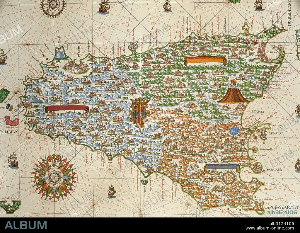
Island of Sicily. Portolan chart by Joan Martines, Spanish cartographer of the Majorcan cartographic school (16th century). Manuscript of 19 double-folio maps. Messina, Sicily, 1587. National Library, Madrid, Spain.
| Teilen |
|---|
 Pinterest Pinterest |
 Twitter Twitter |
 Facebook Facebook |
 Link kopieren Link kopieren |
 Email Email |
|
Zu einem anderen Lightbox hinzufügen |
|
Zu einem anderen Lightbox hinzufügen |


Haben Sie bereits ein Konto? Anmelden
Sie haben kein Konto? Registrieren
Dieses Bild kaufen

Untertitel:
Siehe automatische Übersetzung
Island of Sicily. Portolan chart by Joan Martines, Spanish cartographer of the Majorcan cartographic school (16th century). Manuscript of 19 double-folio maps. Messina, Sicily, 1587. National Library, Madrid, Spain.
Bildnachweis:
Album / Prisma
Freigaben (Releases):
Model: Nein - Eigentum: Nein
Rechtefragen?
Rechtefragen?
Bildgröße:
4961 x 3595 px | 51.0 MB
Druckgröße:
42.0 x 30.4 cm | 16.5 x 12.0 in (300 dpi)
Schlüsselwörter:
16. JAHRHUNDERT • 16. JH. • BLUME: ROSE • EUROPA • GEOGRAFIE • GEOGRAPHIE • GESCHICHTE • INSEL • KARTE (KARTHOGRAFIE) • KARTEN • KARTHOGRAFIE • KARTHOGRAPHIE • KARTOGRAFIE (KARTE) • KARTOGRAPH • KARTOGRAPHIE • KOMPASSROSE • LANDKARTE • MITTELMEER • NAVEGATION • NAVIGATION • PLAN (KARTOGRAPHIE) • PORTOLANKARTE • ROSA • ROSE • SCHIFFAHRT • SCHIFFFAHRT • SEEKARTE • WINDROSE • WISSENSCH.: KARTOGRAPHIE • ZEITGESCHICHTE
