alb3929000
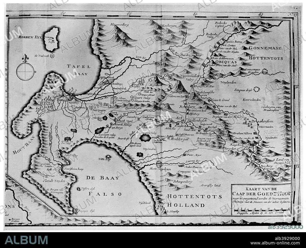
A map of the Cape of Good Hope in the time of the van der Stels, South Africa, 18th century (1931). Artist: Unknown
| Teilen |
|---|
 Pinterest Pinterest |
 Twitter Twitter |
 Facebook Facebook |
 Link kopieren Link kopieren |
 Email Email |
|
Zu einem anderen Lightbox hinzufügen |
|
Zu einem anderen Lightbox hinzufügen |


Haben Sie bereits ein Konto? Anmelden
Sie haben kein Konto? Registrieren
Dieses Bild kaufen

Titel:
A map of the Cape of Good Hope in the time of the van der Stels, South Africa, 18th century (1931). Artist: Unknown
Untertitel:
Siehe automatische Übersetzung
A map of the Cape of Good Hope in the time of the van der Stels, South Africa, 18th century (1931).
Bildnachweis:
Album / The Print Collector / Heritage Images
Freigaben (Releases):
Model: Nein - Eigentum: Nein
Rechtefragen?
Rechtefragen?
Bildgröße:
4799 x 3645 px | 50.0 MB
Druckgröße:
40.6 x 30.9 cm | 16.0 x 12.2 in (300 dpi)
Schlüsselwörter:
18. JAHRHUNDERT • 18. JH. • ABDRUCK • AFRIKA • ALKOHOL • MONOCHROM • MONOCHROMIE • SCHWARZ UND WEISS • SCHWARZ-WEIß • SCHWARZWEISS
