alb4087167
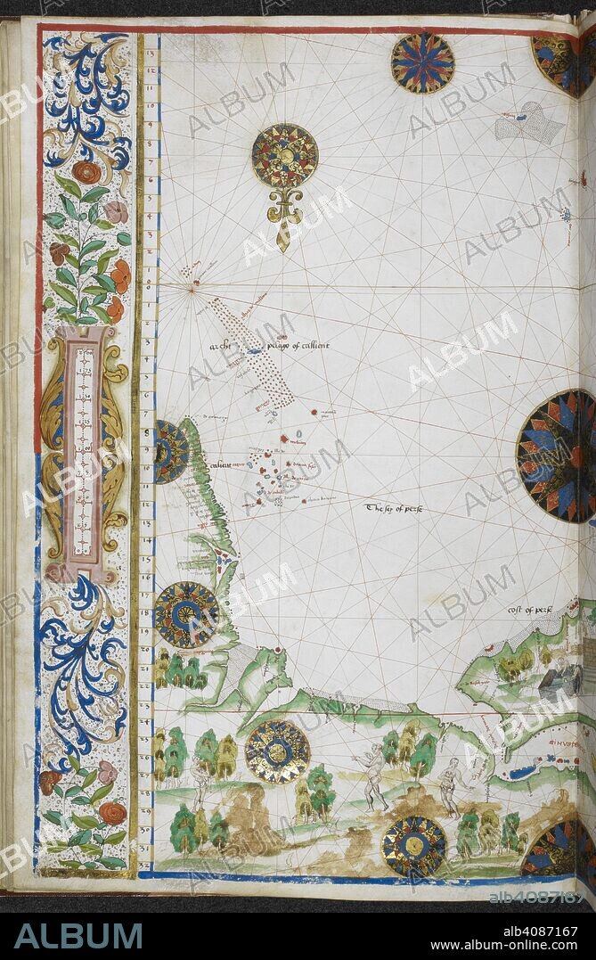
Chart of the coasts of Asia and Africa from Cape Comorin to Cape Delgado, including the Persian Gulf and the Red Sea. Jean Rotz, Boke of Idrography (The 'Rotz Atlas'). c 1535-1542. Source: Royal MS 20 E IX f.11v. Language: French & English.

|
Zu einem anderen Lightbox hinzufügen |
|
Zu einem anderen Lightbox hinzufügen |


Haben Sie bereits ein Konto? Anmelden
Sie haben kein Konto? Registrieren
Dieses Bild kaufen.
Nutzung auswählen:

Autor:
Untertitel:
Siehe automatische Übersetzung
Chart of the coasts of Asia and Africa from Cape Comorin to Cape Delgado, including the Persian Gulf and the Red Sea. Jean Rotz, Boke of Idrography (The 'Rotz Atlas'). c 1535-1542. Source: Royal MS 20 E IX f.11v. Language: French & English.
Bildnachweis:
Album / British Library
Freigaben (Releases):
Bildgröße:
4363 x 6682 px | 83.4 MB
Druckgröße:
36.9 x 56.6 cm | 14.5 x 22.3 in (300 dpi)
Schlüsselwörter:
16. JAHRHUNDERT • 16. JH. • AFRIKA • DOKUMENT • FARBE • FARBEN • FARBIG • KARTE (KARTHOGRAFIE) • KARTEN • KARTHOGRAFIE • KARTHOGRAPHIE • KARTOGRAFIE (KARTE) • KARTOGRAPHIE • KUESTE • KÜSTE • LANDKARTE • MARITIM • PLAN (KARTOGRAPHIE) • ROTZ, JEAN • STRAND • WISSENSCH.: KARTOGRAPHIE


 Pinterest
 Twitter
 Facebook
 Link kopieren
 Email
Email
