alb8379166
HARRIS & EWING. Map of Europe, between 1913 and 1917. Creator: Harris & Ewing.
| Teilen |
|---|
 Pinterest Pinterest |
 Twitter Twitter |
 Facebook Facebook |
 Link kopieren Link kopieren |
 Email Email |
|
Zu einem anderen Lightbox hinzufügen |
|
Zu einem anderen Lightbox hinzufügen |


Haben Sie bereits ein Konto? Anmelden
Sie haben kein Konto? Registrieren
Dieses Bild kaufen

Autor:
Titel:
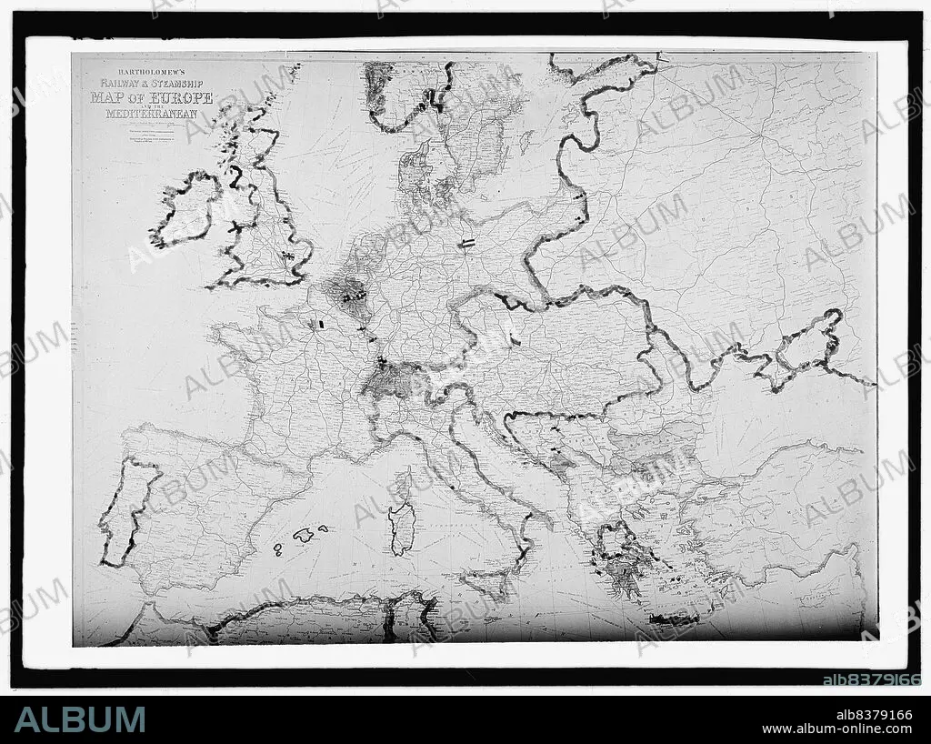
Map of Europe, between 1913 and 1917. Creator: Harris & Ewing.
Untertitel:
Siehe automatische Übersetzung
Map of Europe, between 1913 and 1917. 'Bartholomew's Railway & Steamship Map of Europe and the Mediterranean'.
Technik/Material:
Fotografía
Bildnachweis:
Album / Heritage Art/Heritage Images
Freigaben (Releases):
Model: Nein - Eigentum: Nein
Rechtefragen?
Rechtefragen?
Bildgröße:
10153 x 7586 px | 220.4 MB
Druckgröße:
86.0 x 64.2 cm | 33.8 x 25.3 in (300 dpi)
Schlüsselwörter:
