alb4091732
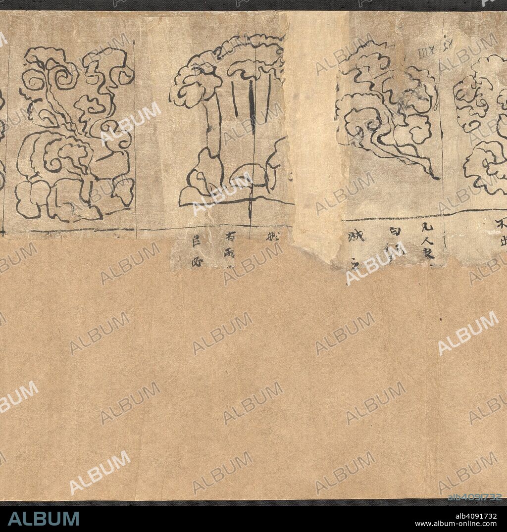
Chinese scroll map depicting the night sky seen from northern hemisphere. It is divided according to the stations of the planet Jupiter into 12 sections. Star maps from Dunhuang. China, Tang dynasty (618-906). Source: Or.8210/S.3326 R.1.(2).

|
Zu einem anderen Lightbox hinzufügen |
|
Zu einem anderen Lightbox hinzufügen |


Haben Sie bereits ein Konto? Anmelden
Sie haben kein Konto? Registrieren
Dieses Bild kaufen

Untertitel:
Siehe automatische Übersetzung
Chinese scroll map depicting the night sky seen from northern hemisphere. It is divided according to the stations of the planet Jupiter into 12 sections. Star maps from Dunhuang. China, Tang dynasty (618-906). Source: Or.8210/S.3326 R.1.(2).
Bildnachweis:
Album / British Library
Freigaben (Releases):
Model: Nein - Eigentum: Nein
Rechtefragen?
Rechtefragen?
Bildgröße:
5248 x 5238 px | 78.6 MB
Druckgröße:
44.4 x 44.3 cm | 17.5 x 17.5 in (300 dpi)
Schlüsselwörter:
 Pinterest
 Twitter
 Facebook
 Link kopieren
 Email
Email
