alb3974858
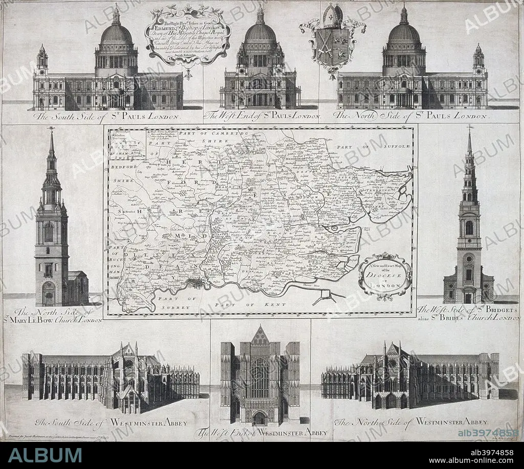
Map of the Diocese of London, 1720. Artist: John Harris
| Teilen |
|---|
 Pinterest Pinterest |
 Twitter Twitter |
 Facebook Facebook |
 Link kopieren Link kopieren |
 Email Email |
|
Zu einem anderen Lightbox hinzufügen |
|
Zu einem anderen Lightbox hinzufügen |


Haben Sie bereits ein Konto? Anmelden
Sie haben kein Konto? Registrieren
Dieses Bild kaufen

Titel:
Map of the Diocese of London, 1720. Artist: John Harris
Untertitel:
Siehe automatische Übersetzung
Map of the Diocese of London, 1720. The map is surrounded by views of St Paul's Cathedral, Westminster Abbey, St Mary le Bow and St Bride's.
Persönlichkeiten:
Bildnachweis:
Album / The London Archives (City of London)/Heritage Images
Freigaben (Releases):
Model: Nein - Eigentum: Nein
Rechtefragen?
Rechtefragen?
Bildgröße:
2727 x 2301 px | 18.0 MB
Druckgröße:
23.1 x 19.5 cm | 9.1 x 7.7 in (300 dpi)
Schlüsselwörter:
18. JAHRHUNDERT • 18. JH. • CHRISTENTUM • DOM • ECCLESIA • ENGLAND • INNENRAEUME: KIRCHEN • KATHEDRALE • KIRCHE • KIRCHEN • MONOCHROM • MONOCHROMIE • MUENSTER (KIRCHE) • MÜNSTER (KIRCHE) • RELIGION • SCHWARZ UND WEISS • SCHWARZ-WEIß • SCHWARZWEISS • SIR CHRISTOPHER WREN • ZAUNKÖNIG
