alb5366846
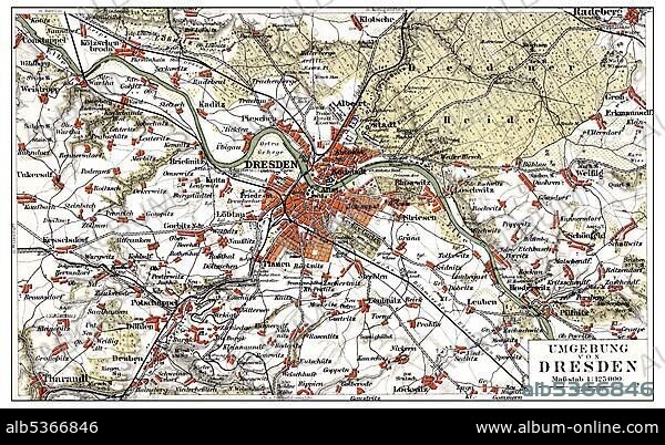
Map of Dresden and the surrounding area, Germany, Europe, end of the 19th Century, from Meyers Encyclopaedia, 1889, Europe.
| Teilen |
|---|
 Pinterest Pinterest |
 Twitter Twitter |
 Facebook Facebook |
 Link kopieren Link kopieren |
 Email Email |
|
Zu einem anderen Lightbox hinzufügen |
|
Zu einem anderen Lightbox hinzufügen |


Haben Sie bereits ein Konto? Anmelden
Sie haben kein Konto? Registrieren
Dieses Bild kaufen

Untertitel:
Siehe automatische Übersetzung
Map of Dresden and the surrounding area, Germany, Europe, end of the 19th Century, from Meyers Encyclopaedia, 1889, Europe
Bildnachweis:
Album / ImageBroker / H.-D. Falkenstein
Freigaben (Releases):
Model: Nein - Eigentum: Nein
Rechtefragen?
Rechtefragen?
Bildgröße:
600 x 369 px | 648.6 KB
Druckgröße:
5.1 x 3.1 cm | 2.0 x 1.2 in (300 dpi)
Schlüsselwörter:
BILDER • ILLUSTRATION • ILLUSTRATIONS • IN GEMAELDEN • INNENRAEUME: IN GEMAELDEN • KADER • KARTE • KARTEN • MALEN • PAPPE • SACHSEN • STRASSENKARTE
