alb3918684
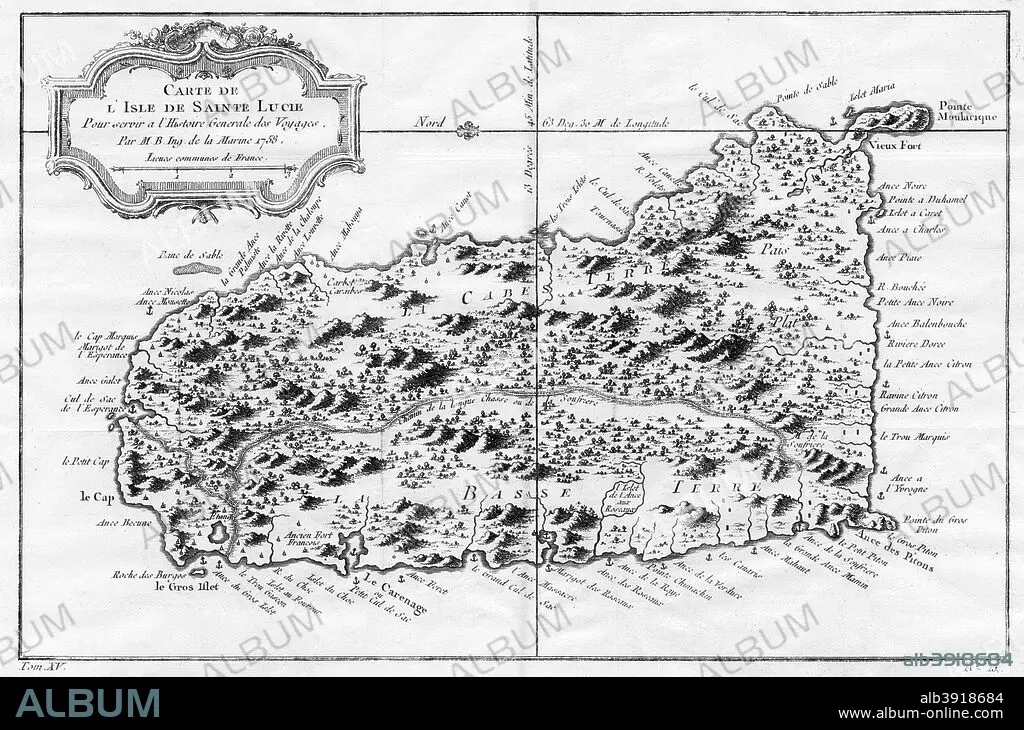
A map of St Lucia, the West Indies, 1758. Artist: N Bellun
| Teilen |
|---|
 Pinterest Pinterest |
 Twitter Twitter |
 Facebook Facebook |
 Link kopieren Link kopieren |
 Email Email |
|
Zu einem anderen Lightbox hinzufügen |
|
Zu einem anderen Lightbox hinzufügen |


Haben Sie bereits ein Konto? Anmelden
Sie haben kein Konto? Registrieren
Dieses Bild kaufen

Titel:
A map of St Lucia, the West Indies, 1758. Artist: N Bellun
Untertitel:
Siehe automatische Übersetzung
A map of St Lucia, the West Indies, 1758.
Bildnachweis:
Album / The Print Collector / Heritage Images
Freigaben (Releases):
Model: Nein - Eigentum: Nein
Rechtefragen?
Rechtefragen?
Bildgröße:
5143 x 3400 px | 50.0 MB
Druckgröße:
43.5 x 28.8 cm | 17.1 x 11.3 in (300 dpi)
Schlüsselwörter:
