alb3815898
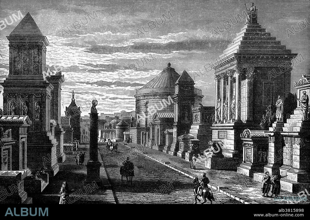
The Appian Way

|
Zu einem anderen Lightbox hinzufügen |
|
Zu einem anderen Lightbox hinzufügen |


Haben Sie bereits ein Konto? Anmelden
Sie haben kein Konto? Registrieren
Dieses Bild kaufen.
Nutzung auswählen:

Titel:
The Appian Way
Untertitel:
Siehe automatische Übersetzung
The Appian Way was one of the most important Roman roads of the ancient republic. It connected Rome to Brindisi, Apulia, in southeast Italy. The road is named after Appius Claudius Caecus, who completed the first section as a military road to the south in 312 BC during the Samnite Wars. "On both sides are tombs and monuments, that of Caecilia Metella in the middle distance. In the foreground the third milestone." Scanned steel engraving from "A Pictorial History of the World's Greatest Nations" (Author, Charlotte M. Yonge - Engraver, A.H. Payne - Publisher, Selmer Hess [NY] - 1882).
Bildnachweis:
Album / Science Source / Theodore Clutter
Freigaben (Releases):
Bildgröße:
3869 x 2550 px | 28.2 MB
Druckgröße:
32.8 x 21.6 cm | 12.9 x 8.5 in (300 dpi)
Schlüsselwörter:


 Pinterest
 Twitter
 Facebook
 Link kopieren
 Email
Email
