alb3842323
Mesocyclone and supercell thunderstorm
| Share |
|---|
 Pinterest Pinterest |
 Twitter Twitter |
 Facebook Facebook |
 Copy link Copy link |
 Email Email |
|
Add to another lightbox |
|
Add to another lightbox |


Title:
Mesocyclone and supercell thunderstorm
Caption:
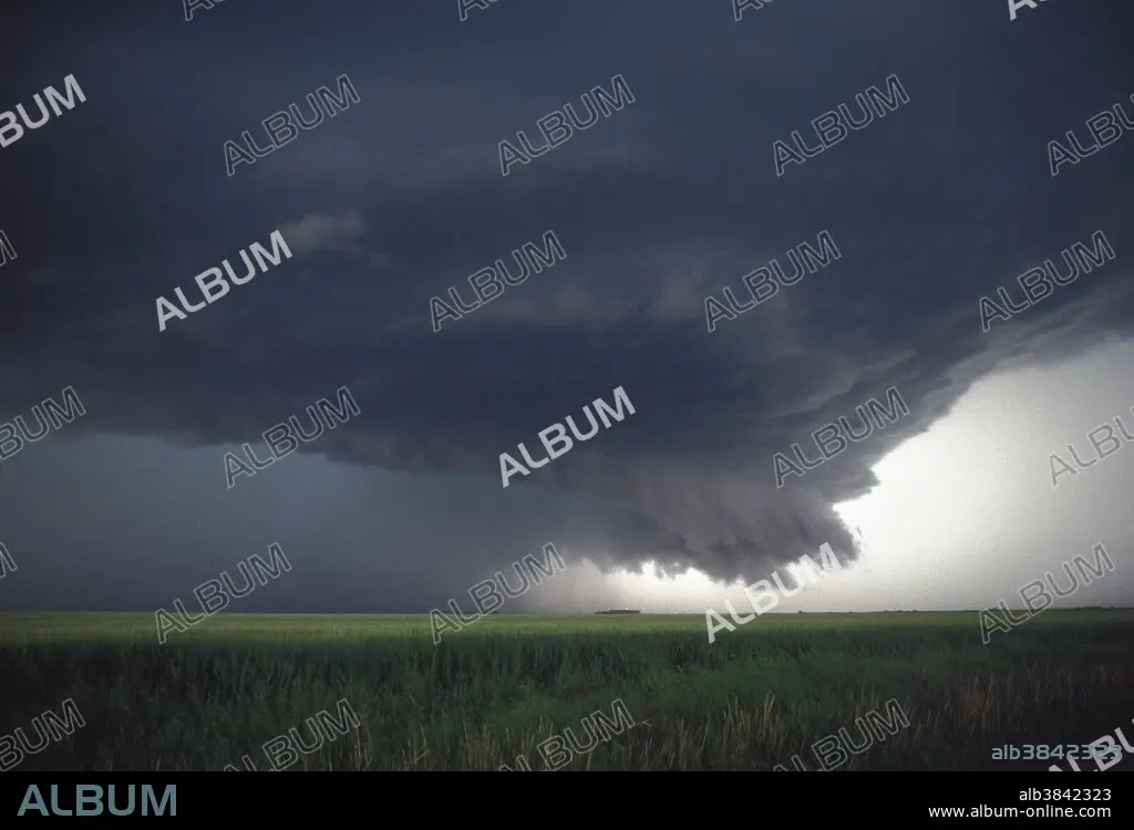
Dangerous mesocyclone of a supercell thunderstorm that produced softball-sized hail near Altus, Oklahoma during the evening of April 18, 1992. Mesocylones are most commonly observed in supercell thunderstorms with a mix of warm updrafts and cold downdrafts, often producing hail. Supercells or rotating thunderstorms usually have a flared or bell-shaped cloud base and are sometimes associated with tornadoes. They occur commonly in the Great Plain states with a counter-clockwise rotation.
Credit:
Album / Science Source / Jon Davies
Releases:
Model: No - Property: No
Rights questions?
Rights questions?
Image size:
4614 x 3141 px | 41.5 MB
Print size:
39.1 x 26.6 cm | 15.4 x 10.5 in (300 dpi)
Keywords:
BAD STORM • CLOUD • LANDSCAPE • LANDSCAPES • MESOCYCLONE • MESOCYCLONES • METEOROLOGICAL_DISASTER • METEOROLOGY • METEOROLOGY • SEVERE STORM • STORM CLOUD • STORM CLOUDS • STORM • STORMS • SUPERCELL CLOUD • SUPERCELL CLOUDS • SUPERCELL THUNDERSTORM • SUPERCELL THUNDERSTORMS • SUPERCELL • SUPERCELLS • TEMPEST • TEMPORAL • TEMPORARY • THUNDERSTORM • THUNDERSTORMS • TORNADIC SUPERCELL THUNDERSTORM • TORNADIC SUPERCELL THUNDERSTORMS • TORNADIC THUNDERSTORM • TORNADIC THUNDERSTORMS • TORNADIC • WEATHER • WEATHER: STORM • WEATHER: THUNDERSTORM
