alb8361916
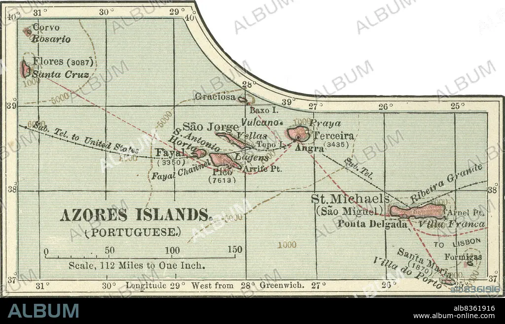
Map of Azores Islands
| Share |
|---|
 Pinterest Pinterest |
 Twitter Twitter |
 Facebook Facebook |
 Copy link Copy link |
 Email Email |
|
Add to another lightbox |
|
Add to another lightbox |


Caption:
Map of Azores Islands
Credit:
Album / Universal Images Group / Encyclopaedia Britannica
Releases:
Model: No - Property: No
Rights questions?
Rights questions?
Image size:
3760 x 2223 px | 23.9 MB
Print size:
31.8 x 18.8 cm | 12.5 x 7.4 in (300 dpi)
Keywords:
10TH EDITION • 1900 • 1900S • 1902 • 1990S • 19TH CENTURY • 19TH • 90S • ANGRA • ARCHIPELAGO • AUTONOMOUS REGION • AZORES ISLANDS • CARTOGRAPHY • CITY • CORVO • DEGREE • DETAIL • EARLY 20TH CENTURY • EARLY TWENTIETH CENTURY • EUROPA • EUROPE • EUROPEA • EUROPEAN • EXPLORATION • GEOGRAPHICAL • GEOGRAPHY • GRADE • GREENWICH • HISTORIA UNIVERSAL • HISTORICAL • HISTORY • HORIZONTAL • HORTA • INSET • ISLAND • ISLANDS • LATITUDE • LONGITUDE • MAP MAKING • MAP • MAPS • NINETEENTH CENTURY • NINETIES • NINETIES, THE • NINETY DECADE • PHYSICAL MAP • PLAN (CARTOGRAPHY) • PONTA DELGADA • PORTUGAL • PORTUGUESE AUTONOMOUS REGION • PORTUGUESE • SANTA CRUZ • SAO JORGE • SAO MIGUEL • ST. MICHAEL • TENTH EDITION
