alb2009565
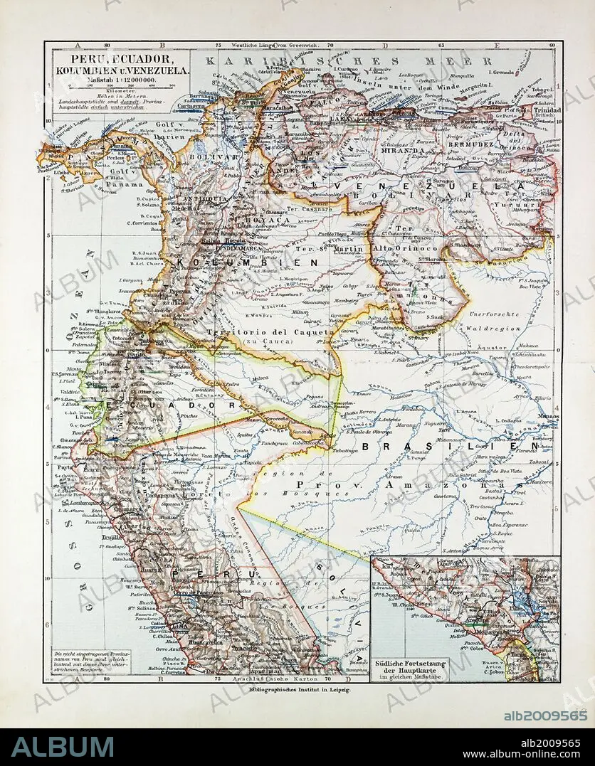
MAP OF PERU, ECUADOR, VENEZUELA AND COLUMBIA, 1899.
| Share |
|---|
 Pinterest Pinterest |
 Twitter Twitter |
 Facebook Facebook |
 Copy link Copy link |
 Email Email |
|
Add to another lightbox |
|
Add to another lightbox |


Caption:
MAP OF PERU, ECUADOR, VENEZUELA AND COLUMBIA, 1899
Credit:
Album / quintlox
Releases:
Model: No - Property: No
Rights questions?
Rights questions?
Image size:
4898 x 5996 px | 84.0 MB
Print size:
41.5 x 50.8 cm | 16.3 x 20.0 in (300 dpi)
Keywords:
1899 • COLUMBIA • COLUMBIAN • ECUADOR • EQUATOR • MAP • NINETEENTH CENTURY MAP • PERU • PLAN (CARTOGRAPHY) • VENEZUELA
