alb2014791
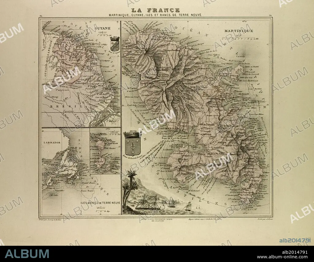
MAP OF MARTINIQUE, FRENCH GUIANA AND TERRA NOVA, 1896.
| Share |
|---|
 Pinterest Pinterest |
 Twitter Twitter |
 Facebook Facebook |
 Copy link Copy link |
 Email Email |
|
Add to another lightbox |
|
Add to another lightbox |


Caption:
MAP OF MARTINIQUE, FRENCH GUIANA AND TERRA NOVA, 1896
Credit:
Album / quintlox
Releases:
Model: No - Property: No
Rights questions?
Rights questions?
Image size:
5484 x 4293 px | 67.4 MB
Print size:
46.4 x 36.3 cm | 18.3 x 14.3 in (300 dpi)
Keywords:
