alb4057388
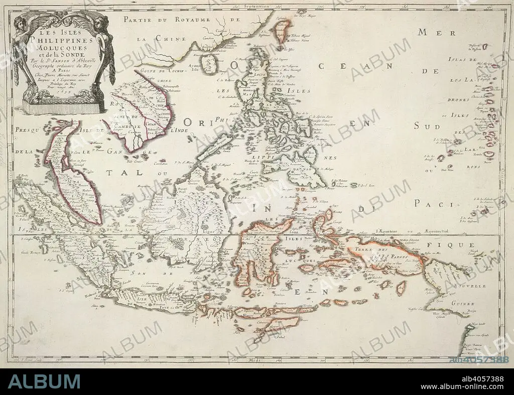
A map of the Philippine Islands, Moluccas and Sunda Islands. Les Isles Philippines, Molucques et de la Sonde. Paris, 1654. Source: Maps K.Top.116.29. Language: French.
| Share |
|---|
 Pinterest Pinterest |
 Twitter Twitter |
 Facebook Facebook |
 Copy link Copy link |
 Email Email |
|
Add to another lightbox |
|
Add to another lightbox |


Caption:
A map of the Philippine Islands, Moluccas and Sunda Islands. Les Isles Philippines, Molucques et de la Sonde. Paris, 1654. Source: Maps K.Top.116.29. Language: French.
Credit:
Album / British Library
Releases:
Model: No - Property: No
Rights questions?
Rights questions?
Image size:
5779 x 4140 px | 68.5 MB
Print size:
48.9 x 35.1 cm | 19.3 x 13.8 in (300 dpi)
Keywords:
17TH CENTURY • 17TH • CARTE • CARTOGRAPHIC • CARTOGRAPHY • INDONESIA • INDONESIAN FOLK ART • INDONESIAN • MALUKU ISLANDS • MAP MAKING • MAP • MOLUCCAS • PHILIPPINES • PLAN (CARTOGRAPHY) • SOUTHEAST ASIA • SPICE ISLANDS
