alb4193580
Political map of North America. Artist: Unknown.
| Share |
|---|
 Pinterest Pinterest |
 Twitter Twitter |
 Facebook Facebook |
 Copy link Copy link |
 Email Email |
|
Add to another lightbox |
|
Add to another lightbox |


Title:
Political map of North America. Artist: Unknown.
Caption:
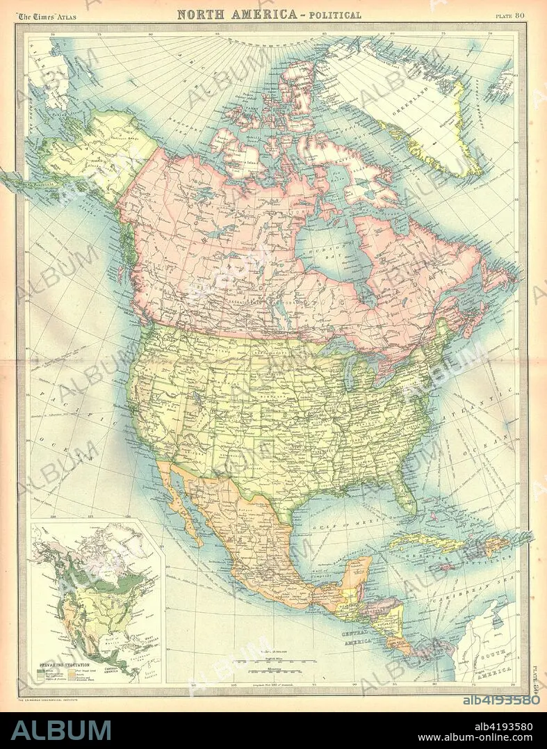
Political map of North America. Map showing Canada, the United States, Mexico, the Caribbean and Central America. Plate 80 from The Times Atlas.
Credit:
Album / Heritage Images / The Print Collector
Releases:
Model: No - Property: No
Rights questions?
Rights questions?
Image size:
3555 x 4624 px | 47.0 MB
Print size:
30.1 x 39.1 cm | 11.8 x 15.4 in (300 dpi)
Keywords:
ARCTIC CIRCLE • CANADA • CARIBBEAN • CARTOGRAPHY • CENTRAL AMERICA • COLOR • COLOUR • COUNTRY • GEOGRAPHICAL FEATURE • GEOGRAPHY • LOCATION • MAP MAKING • MAP • MAP-MAKING • MEXICO • NORTH AMERICA • SEA • UNITED STATES OF AMERICA
