alb4062015
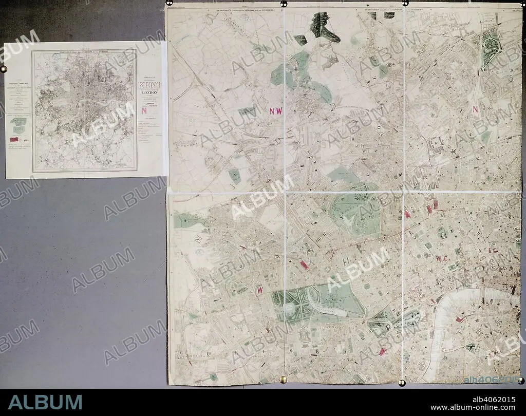
Map of London. Stanford's Library Map of London and its suburbs. London : E. Stanford, 1886. Stanford's Library Map of London and its suburbs. Image taken from Stanford's Library Map of London and its suburbs. Scale, 6 inches to 1 Eng. statute mile, or 1 : 10,560. Originally published/produced in London : E. Stanford, 1886. . Source: Maps.3480.(260), sheet 1. Language: English.
| Share |
|---|
 Pinterest Pinterest |
 Twitter Twitter |
 Facebook Facebook |
 Copy link Copy link |
 Email Email |
|
Add to another lightbox |
|
Add to another lightbox |


Caption:
Map of London. Stanford's Library Map of London and its suburbs. London : E. Stanford, 1886. Stanford's Library Map of London and its suburbs. Image taken from Stanford's Library Map of London and its suburbs. Scale, 6 inches to 1 Eng. statute mile, or 1 : 10,560. Originally published/produced in London : E. Stanford, 1886. . Source: Maps.3480.(260), sheet 1. Language: English.
Credit:
Album / British Library
Releases:
Model: No - Property: No
Rights questions?
Rights questions?
Image size:
5808 x 4293 px | 71.3 MB
Print size:
49.2 x 36.3 cm | 19.4 x 14.3 in (300 dpi)
Keywords:
ALBION • BRENT RESERVOIR • BRITISH ISLES • BRONDESBURY PARK • BRONDSBURY PARK • CARTE • CARTOGRAPHY • CELL • CITY OF LONDON • CLINK • COMPLEX • COMPLEXES • CRICKLEWOOD • DUNGEON • EDUCATIONAL BUILDING • EDUCATIONAL INSTITUTION • EDUCATIONAL INSTITUTIONS • EUROPE • GAOL • GOLDERS GREEN • GOVERNMENT BUILDING • GREAT BRITAIN • HAMPSTEAD CEMETRY • HAMPSTEAD HEATH • HULK • HYDE PARK • KENWOOD • LEARNING CENTRE • LIBRARY • LONDON • MAP MAKING • MAP • PAPER STREAMER • PLAN (CARTOGRAPHY) • PRISON CELL • PRISON SHIP • PRISON • SERPENTINE RIVER • SERPENTINE • ST JAMES PARK • ST. JAMES PARK • STREAMER • SUBURB • SUBURBAN • SUBURBIA • WESTERN EUROPE • WILLESDEN
