alb4075135
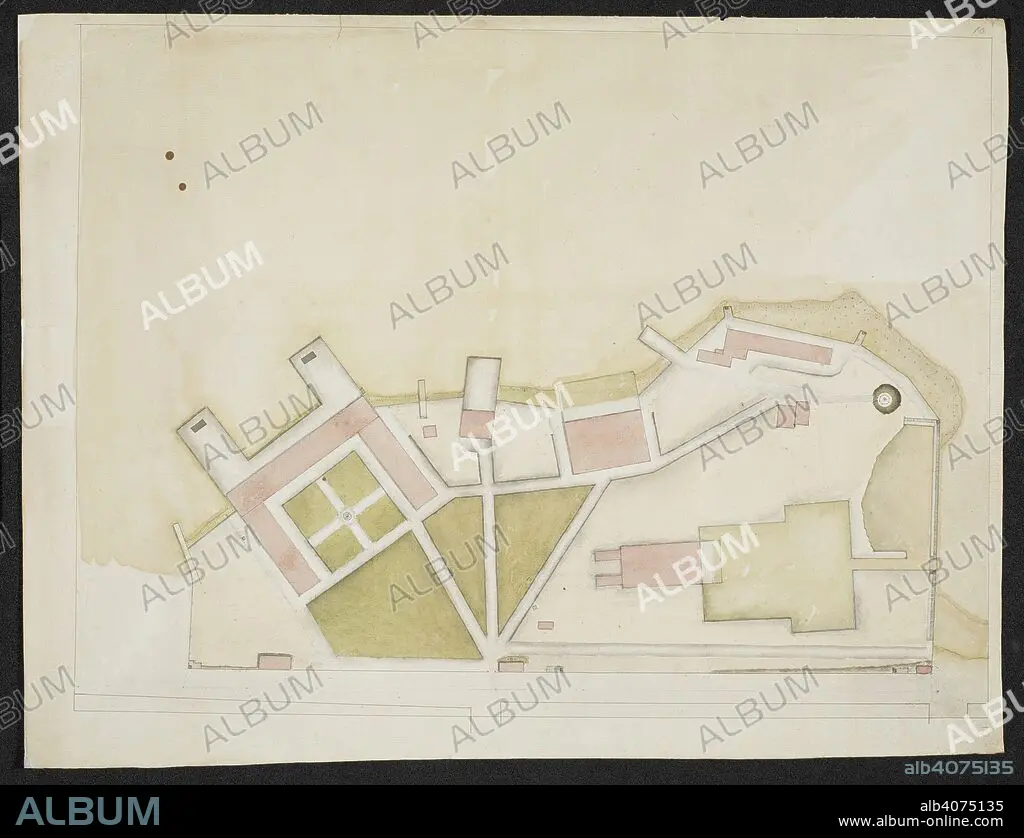
Plan of a structure, comprising of several buildings on a coast. SIXTY-SEVEN Charts and maps illustrating the voyages and surveys of Capt. James Cook, R.N., and other discoverers; circ. 1760- 1780. c 1760-1780. Source: Add. 31360, no.10.
| Share |
|---|
 Pinterest Pinterest |
 Twitter Twitter |
 Facebook Facebook |
 Copy link Copy link |
 Email Email |
|
Add to another lightbox |
|
Add to another lightbox |


Author:
Caption:
Plan of a structure, comprising of several buildings on a coast. SIXTY-SEVEN Charts and maps illustrating the voyages and surveys of Capt. James Cook, R.N., and other discoverers; circ. 1760- 1780. c 1760-1780. Source: Add. 31360, no.10.
Credit:
Album / British Library
Releases:
Model: No - Property: No
Rights questions?
Rights questions?
Image size:
8439 x 6469 px | 156.2 MB
Print size:
71.5 x 54.8 cm | 28.1 x 21.6 in (300 dpi)
Keywords:
18TH CENTURY • 18TH CENTURY, THE • CARTOGRAPHIC • CARTOGRAPHY • CHART • COOK, JAMES • DISCOVERER • EXPLORATION • EXPLORE • EXPLORER • EXPLORING • JOURNEY • JOURNEYMAN'S TRAVEL • JOURNEYMAN'S TRAVELS • LEISURE • MAP MAKING • RESEARCHER (MALE) • RESEARCHER • TRAVEL • TRAVELLING
