alb9337366
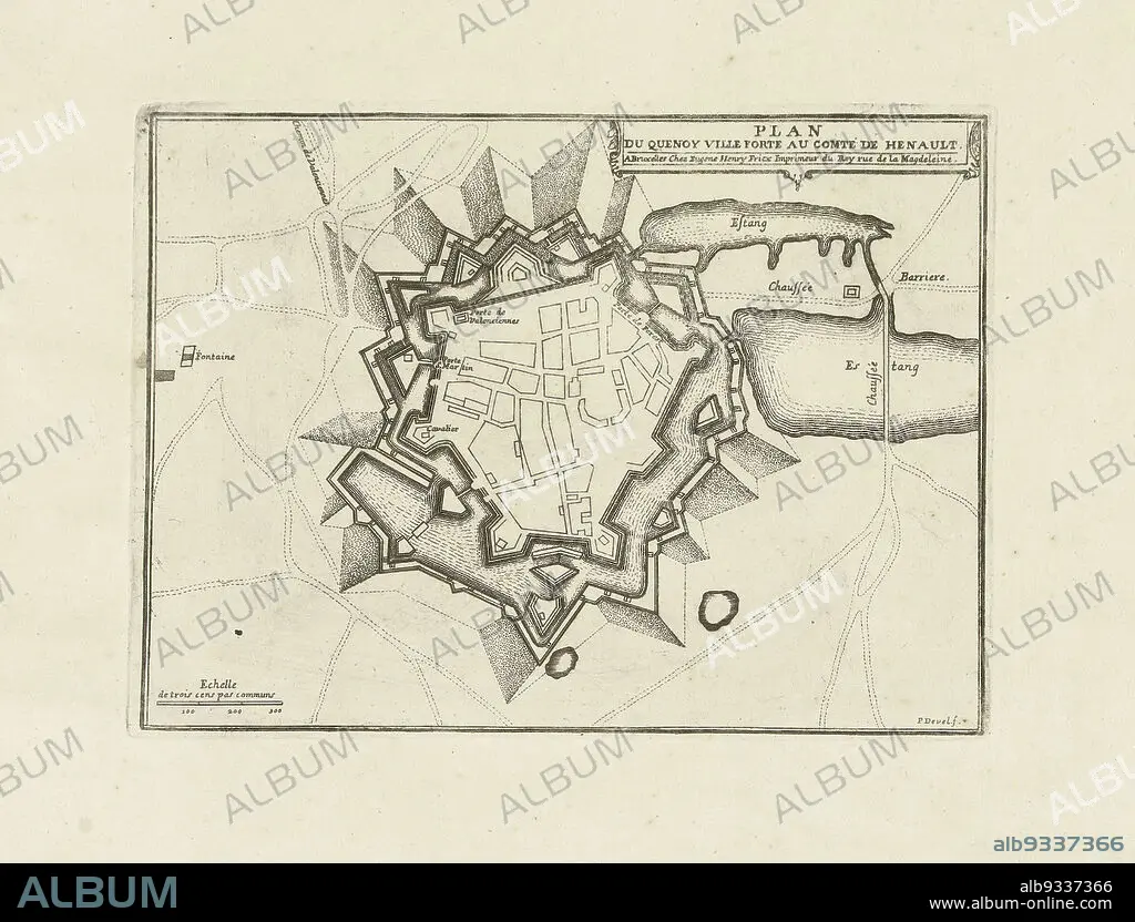
Map of le Quesnoy, 1712, Plan du Quenoy ville forte au comté de Henault (title on object), Map of le Quesnoy, besieged by the Allies in 1712. Part of a bundled collection of plans of battles and towns celebrated in the War of the Spanish Succession., print maker: Pieter Devel (mentioned on object), publisher: Eugene Henry Fricx (mentioned on object), Brussels, 1712, paper, etching, height 183 mm × width 248 mm.
| Share |
|---|
 Pinterest Pinterest |
 Twitter Twitter |
 Facebook Facebook |
 Copy link Copy link |
 Email Email |
|
Add to another lightbox |
|
Add to another lightbox |


Caption:
Map of le Quesnoy, 1712, Plan du Quenoy ville forte au comté de Henault (title on object), Map of le Quesnoy, besieged by the Allies in 1712. Part of a bundled collection of plans of battles and towns celebrated in the War of the Spanish Succession., print maker: Pieter Devel (mentioned on object), publisher: Eugene Henry Fricx (mentioned on object), Brussels, 1712, paper, etching, height 183 mm × width 248 mm
Credit:
Album / quintlox
Releases:
Model: No - Property: No
Rights questions?
Rights questions?
Image size:
3634 x 2766 px | 28.8 MB
Print size:
30.8 x 23.4 cm | 12.1 x 9.2 in (300 dpi)
Keywords:
1712 • ALLIES • BATTLES • BESIEGED • BRUSSELS • BUNDLED COLLECTION • CITY OF BRUSSELS • ETCHING • EUGENE HENRY FRICX • HEIGHT 183 MM • HUNDRED YEARS WAR • LE QUESNOY • MAP • MAPS • MENTIONED • PAPER AND PACKAGE PRODUCTS • PAPER • PART • PIETER DEVEL • PLAN (CARTOGRAPHY) • PLAN DU QUENOY VILLE FORTE AU COMTÉ DE HENAULT • PLANS • PRINT MAKER • PUBLISHER • SPANISH SUCCESSION • TOWNS CELEBRATED • WAR • WARFARE • WIDTH 248 MM
