alb6161577
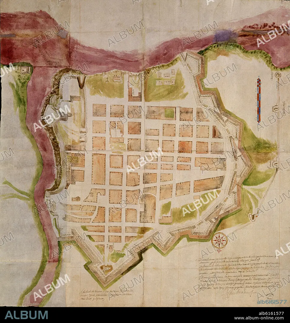
PLANO DE LA CIUDAD DE SANTO DOMINGO EN 1608
| Share |
|---|
 Pinterest Pinterest |
 Twitter Twitter |
 Facebook Facebook |
 Copy link Copy link |
 Email Email |
|
Add to another lightbox |
|
Add to another lightbox |


Caption:
Automatic translation: PLAN OF THE CITY OF SANTO DOMINGO IN 1608
PLANO DE LA CIUDAD DE SANTO DOMINGO EN 1608
Location:
Credit:
Album / Oronoz
Releases:
Model: No - Property: No
Rights questions?
Rights questions?
Image size:
4062 x 4302 px | 50.0 MB
Print size:
34.4 x 36.4 cm | 13.5 x 14.3 in (300 dpi)
Keywords:
17TH CENTURY • ARCHIVO DE INDIAS • BASTION • BULWARK • CASTLE • CITADEL • CITY • FORTIFICATION • FORTIFIED TOWN • FORTITUDE • FORTRESS • INDIAN-FILE MAPS AND PLANS • MAP • ORTHOGONAL • PLAN (CARTOGRAPHY) • PLAN • RAMPART • SANTO DOMINGO DOMINICAN REPUBLIC • SEVILLA • SEVILLE • SPAIN • STRONGHOLD
