alb1644890
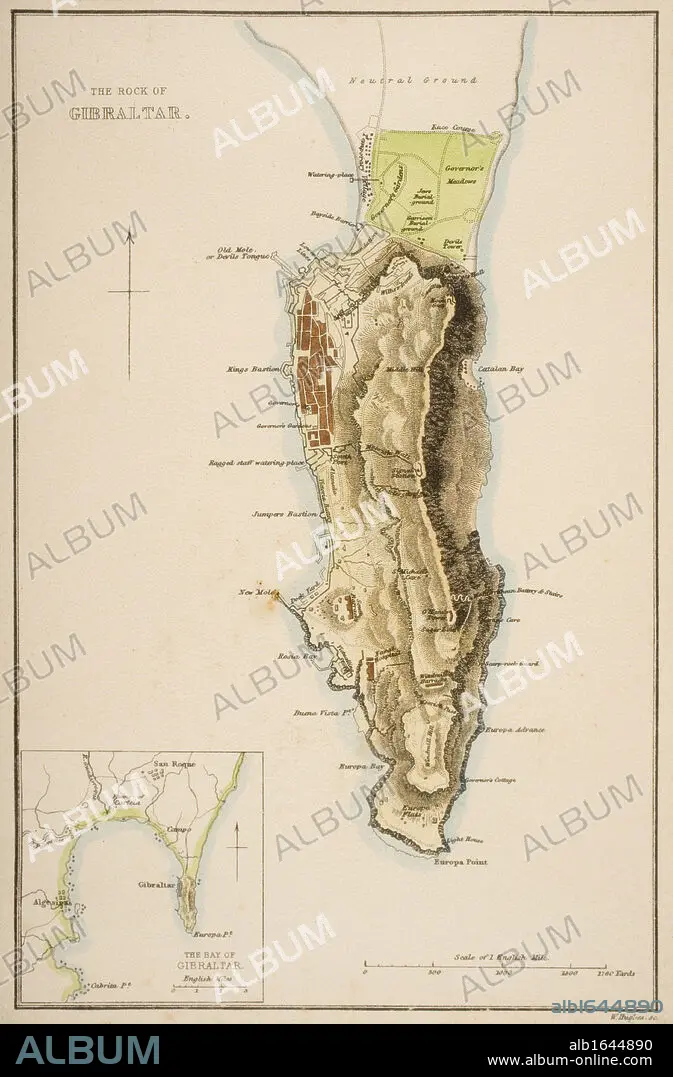
19th century map of The Rock of Gibraltar.
| Share |
|---|
 Pinterest Pinterest |
 Twitter Twitter |
 Facebook Facebook |
 Copy link Copy link |
 Email Email |
|
Add to another lightbox |
|
Add to another lightbox |


Caption:
19th century map of The Rock of Gibraltar
Credit:
Album / Universal History Archive/Universal Images Group
Releases:
Model: No - Property: No
Rights questions?
Rights questions?
Image size:
3593 x 5470 px | 56.2 MB
Print size:
30.4 x 46.3 cm | 12.0 x 18.2 in (300 dpi)
Keywords:
ALGECIRAS • BAHIA • BAY • CARTOGRAPHY • COLOR • COLOUR • GEOGRAPHICAL • GEOGRAPHY • GIB • GIBRALTAR • IBERIA • KEN • MAP MAKING • MAP • MAPMAKING • OLD • PLAN (CARTOGRAPHY) • ROCK • SPAIN • STRAIT • STRAITS • VERTICAL LINES • VERTICAL • WELSH
