alb3546473
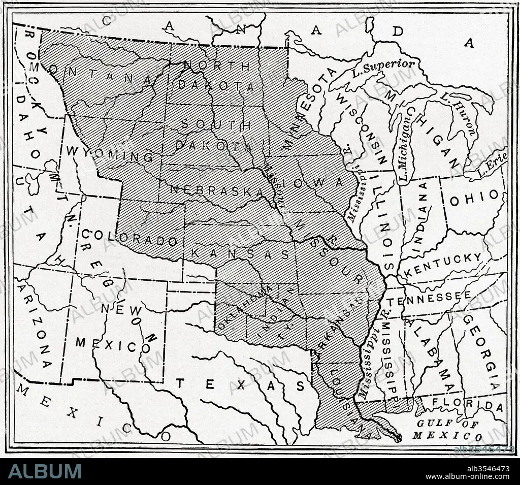
Map showing The Louisiana Purchase
| Share |
|---|
 Pinterest Pinterest |
 Twitter Twitter |
 Facebook Facebook |
 Copy link Copy link |
 Email Email |
|
Add to another lightbox |
|
Add to another lightbox |


Title:
Map showing The Louisiana Purchase
Caption:
Map showing The Louisiana Purchase. The acquisition of the Louisiana territory (828,000 square miles) by the United States from France in 1803. From The History of Our Country, published 1900
Credit:
Album / Universal Images Group / Universal History Archive
Releases:
Model: No - Property: No
Rights questions?
Rights questions?
Image size:
4572 x 4026 px | 52.7 MB
Print size:
38.7 x 34.1 cm | 15.2 x 13.4 in (300 dpi)
Keywords:
1803 • 19TH CENTURY • ACQUISITION • AMERICA • AMERICAN • AMERICANS • AMERICAS • CENTURY • CHART • DEMONSTRATING • EEUU • FORMER • FORMERLY • FRANCE • FRENCH • GEOGRAPHICAL • GEOGRAPHY • HISTORIA UNIVERSAL • HISTORICAL • HISTORY • ILLUSTRATION • LOUISIANA • MAP • PLAN (CARTOGRAPHY) • PURCHASE • SHOWING • STATES • TERRITORY • U. S. • UNITED STATES • UNITED • US
