alb1649833
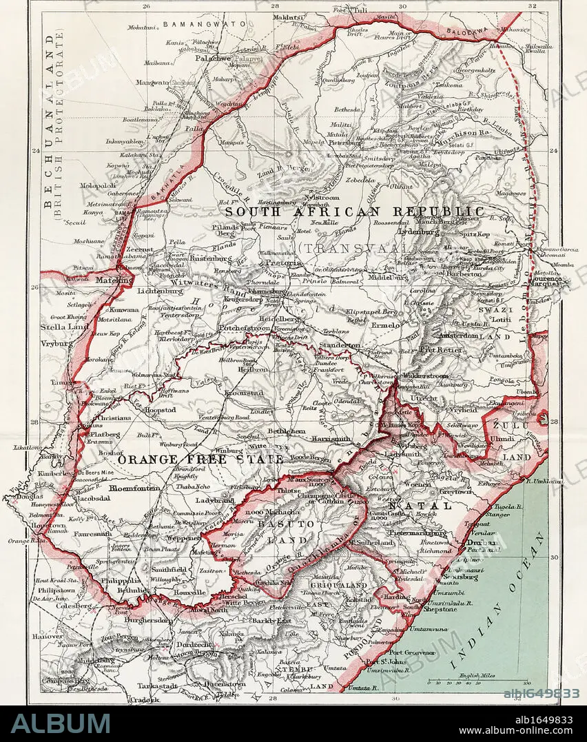
Map of South African republic, Orange Free State and Natal circa. 1900. From the book South Africa and the Transvaal War by Louis Creswicke, published 1900.
| Share |
|---|
 Pinterest Pinterest |
 Twitter Twitter |
 Facebook Facebook |
 Copy link Copy link |
 Email Email |
|
Add to another lightbox |
|
Add to another lightbox |


Caption:
Map of South African republic, Orange Free State and Natal circa. 1900. From the book South Africa and the Transvaal War by Louis Creswicke, published 1900.
Credit:
Album / Universal History Archive/Universal Images Group
Releases:
Model: No - Property: No
Rights questions?
Rights questions?
Image size:
4016 x 4826 px | 55.5 MB
Print size:
34.0 x 40.9 cm | 13.4 x 16.1 in (300 dpi)
