alb1888406
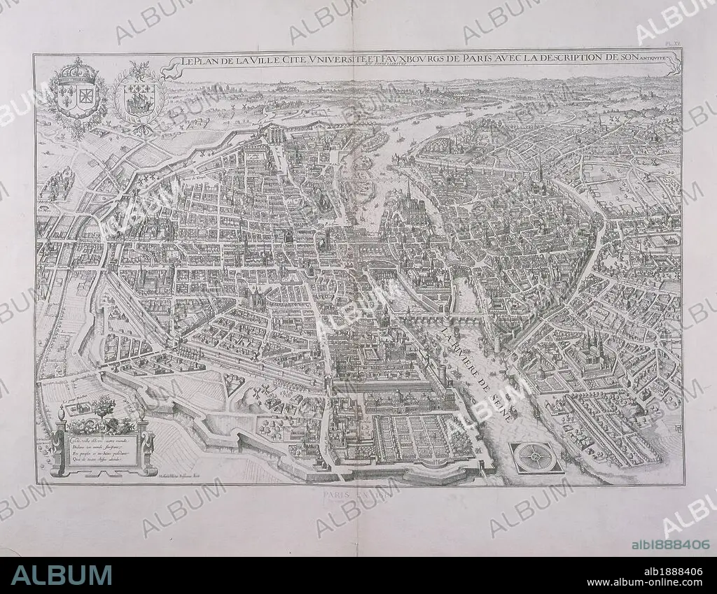
Cartography, France, 17th century. Map of Paris by Matthieu Merian, 1615. Engraving.
| Share |
|---|
 Pinterest Pinterest |
 Twitter Twitter |
 Facebook Facebook |
 Copy link Copy link |
 Email Email |
|
Add to another lightbox |
|
Add to another lightbox |


Caption:
Cartography, France, 17th century. Map of Paris by Matthieu Merian, 1615. Engraving.
Location:
Paris, Hôtel Carnavalet (Art Museum)
Credit:
Album / DEA / G. DAGLI ORTI
Releases:
Model: No - Property: No
Rights questions?
Rights questions?
Image size:
3455 x 2686 px | 26.6 MB
Print size:
29.3 x 22.7 cm | 11.5 x 9.0 in (300 dpi)
Keywords:
