alb4088602
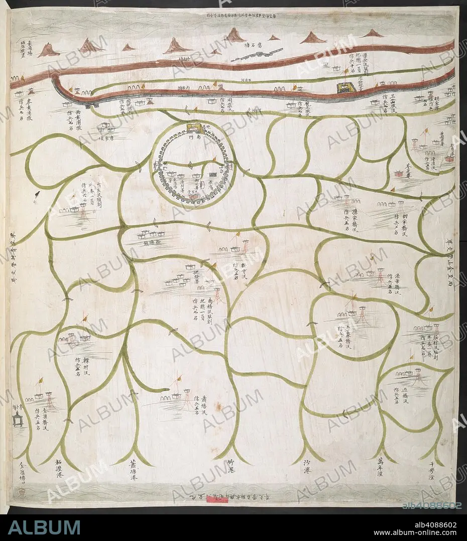
(Awaiting full caption). Sixteen Official Military Maps of China, viz. Embouchure of the Canton River, in Kwangtung; Nine maps of parts of the province of Chekeang; Six maps of parts of Keangsoo. China, ca.1830. Source: Add.16359.(n). Language: Chinese.
| Share |
|---|
 Pinterest Pinterest |
 Twitter Twitter |
 Facebook Facebook |
 Copy link Copy link |
 Email Email |
|
Add to another lightbox |
|
Add to another lightbox |


Caption:
(Awaiting full caption). Sixteen Official Military Maps of China, viz. Embouchure of the Canton River, in Kwangtung; Nine maps of parts of the province of Chekeang; Six maps of parts of Keangsoo. China, ca.1830. Source: Add.16359.(n). Language: Chinese.
Credit:
Album / British Library
Releases:
Model: No - Property: No
Rights questions?
Rights questions?
Image size:
6519 x 7178 px | 133.9 MB
Print size:
55.2 x 60.8 cm | 21.7 x 23.9 in (300 dpi)
