alb4059428
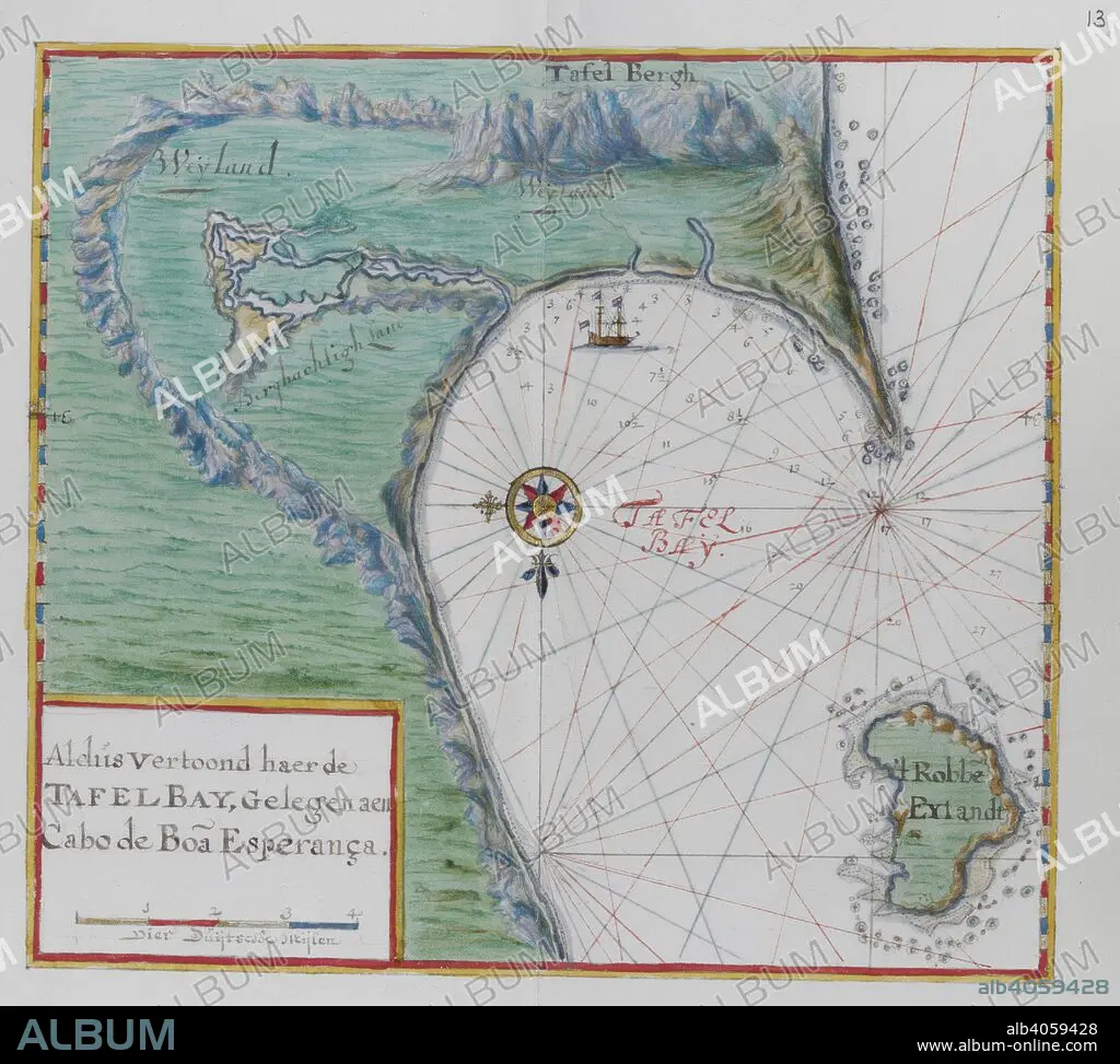
Map of the Cape of Good Hope. Table Bay, South Africa. DUTCH PORTOLANO, containing forty-nine coloured maps and views. 17th century. Source: Add. 34184, f.12.
| Share |
|---|
 Pinterest Pinterest |
 Twitter Twitter |
 Facebook Facebook |
 Copy link Copy link |
 Email Email |
|
Add to another lightbox |
|
Add to another lightbox |


Caption:
Map of the Cape of Good Hope. Table Bay, South Africa. DUTCH PORTOLANO, containing forty-nine coloured maps and views. 17th century. Source: Add. 34184, f.12.
Credit:
Album / British Library
Releases:
Model: No - Property: No
Rights questions?
Rights questions?
Image size:
4291 x 3857 px | 47.4 MB
Print size:
36.3 x 32.7 cm | 14.3 x 12.9 in (300 dpi)
Keywords:
