alb3816549
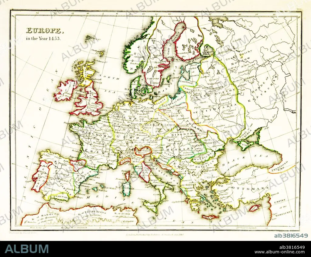
Europe Map, After Fall of Constantinople, 1453
| Share |
|---|
 Pinterest Pinterest |
 Twitter Twitter |
 Facebook Facebook |
 Copy link Copy link |
 Email Email |
|
Add to another lightbox |
|
Add to another lightbox |


Title:
Europe Map, After Fall of Constantinople, 1453
Caption:
A map of Europe, showing territorial borders existing in the 15th century, specifically 1453. The Fall of Constantinople, capital of the Byzantine Empire, to the invading army of the Ottoman Empire occurred on 29 May, 1453. Map published in 1831.
Credit:
Album / Science Source / British Library
Releases:
Model: No - Property: No
Rights questions?
Rights questions?
Image size:
3543 x 2746 px | 27.8 MB
Print size:
30.0 x 23.2 cm | 11.8 x 9.2 in (300 dpi)
Keywords:
1453 • 15TH CENTURY • ANTIQUE • ART • ARTWORK • BORDERS • CHANGING • COUNTRIES • DRAWING • EUROPE • EUROPEA • EUROPEAN • FALL OF CONSTANTINOPLE • HISTORIC • HISTORICAL • HISTORY • ILLUSTRATION • MAP • OLD • OTTOMAN EMPIRE • PRINT • SEQUENCE • TERRITORY • VINTAGE
