alb6130384
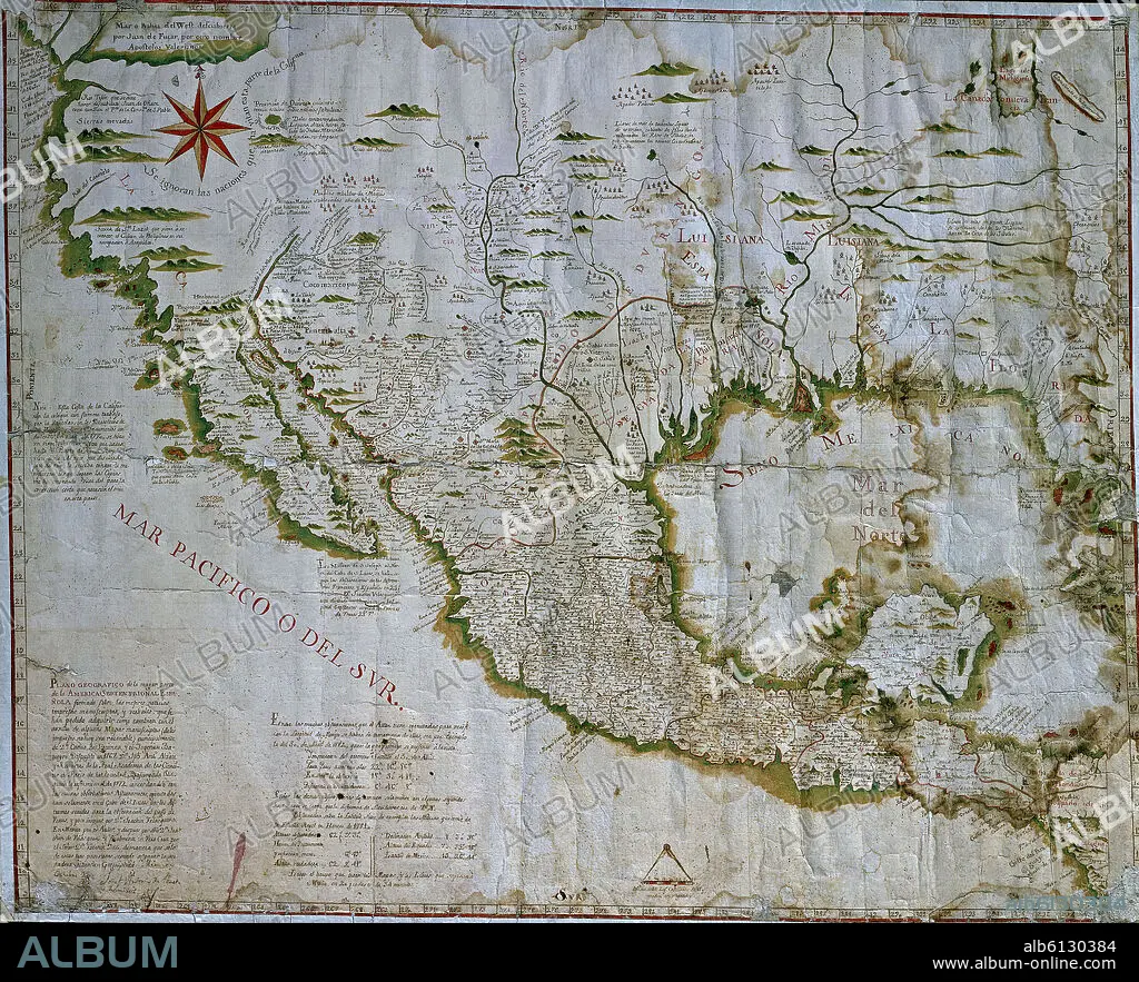
JOSÉ ANTONIO ALZATE. MAPA DE NUEVA ESPAÑA 1767 (MEJICO Y SUR DE EEUU)
| Share |
|---|
 Pinterest Pinterest |
 Twitter Twitter |
 Facebook Facebook |
 Copy link Copy link |
 Email Email |
|
Add to another lightbox |
|
Add to another lightbox |


Caption:
Automatic translation: MAP OF NEW SPAIN 1767 (MEXICO AND SOUTHERN USA)
MAPA DE NUEVA ESPAÑA 1767 (MEJICO Y SUR DE EEUU)
Location:
Credit:
Album / Oronoz
Releases:
Model: No - Property: No
Rights questions?
Rights questions?
Image size:
3900 x 3160 px | 35.3 MB
Print size:
33.0 x 26.8 cm | 13.0 x 10.5 in (300 dpi)
Keywords:
