alb9610231
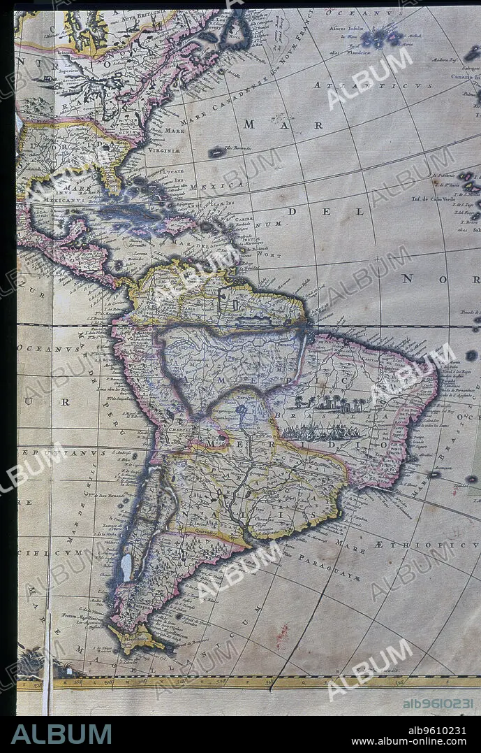
Map of South America, West Indies, Central America and east coast of North America Atlas.
| Share |
|---|
 Pinterest Pinterest |
 Twitter Twitter |
 Facebook Facebook |
 Copy link Copy link |
 Email Email |
|
Add to another lightbox |
|
Add to another lightbox |


Caption:
Map of South America, West Indies, Central America and east coast of North America Atlas.
Credit:
Album / Mithra/Index/Heritage Images
Releases:
Model: No - Property: No
Rights questions?
Rights questions?
Image size:
3675 x 5458 px | 57.4 MB
Print size:
31.1 x 46.2 cm | 12.2 x 18.2 in (300 dpi)
Keywords:
17TH CENTURY • AMERICA • ATLAS • BARCELONA • CATALONIA LIBRARY • CENTRAL • COAST • COLOR • COLOUR • FREDERICK DE • FREDERICK • HISTORY • LIBRARY OF CATALONIA • MAP • MAPS • NORTHERN • SOUTH • SPAIN. CATALONIA. BARCELONÉS • VERTICAL LINES • VERTICAL • WEST INDIES • WIT
