alb4023320
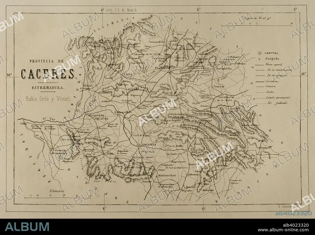
Map of the province of Caceres, Extremadura, Spain. Cronica General de Espan_a, Historia Ilustrada y Descriptiva de sus Provincias. Extremadura, 1870.
| Share |
|---|
 Pinterest Pinterest |
 Twitter Twitter |
 Facebook Facebook |
 Copy link Copy link |
 Email Email |
|
Add to another lightbox |
|
Add to another lightbox |


Caption:
Map of the province of Caceres, Extremadura, Spain. Cronica General de Espan_a, Historia Ilustrada y Descriptiva de sus Provincias. Extremadura, 1870.
Credit:
Album / Prisma
Releases:
Model: No - Property: No
Rights questions?
Rights questions?
Image size:
4961 x 3439 px | 48.8 MB
Print size:
42.0 x 29.1 cm | 16.5 x 11.5 in (300 dpi)
Keywords:
1870 • 19TH CENTURY • 19TH • ALCANTARA • ARTFORM: LITHOGRAPH • CÁCERES PROVINCE • CACERES • CARTHOGRAPHY • CARTOGRAPHY • CONTEMPORARY AGE • CONTEMPORARY PERIOD • CÓRIA • DRAWING • DRAWN • ENGRAVED • ENGRAVING (ARTWORK) • ENGRAVING • ENGRAVING. • ENGRAVINGS • ESTREMADURA • ETCHING • EUROPE • EUROPEA • EUROPEAN • EXTREMADURA • FLUVIAL • GARROVILLAS • GASH • GEOGRAPHY • GRANADILLA • HISTORIA UNIVERSAL • HISTORY • HOYOS • IBERIAN PENINSULA • JARANDILLA • LEGEND (STORY) • LEGEND • LITHOGRAPH • LITHOGRAPHER • LITHOGRAPHY • MAP KEY • MAP LEGEND • MAP MAKING • MAP • MAPPING • MONTANCHEZ • MYTH • PLAN (CARTOGRAPHY) • PLASENCIA • PRINT • PROVINCE • PROVINCIAL • REGION • RIVER • SLAG • SPAIN • SPANISH • STREAM • TAJO RIVER • TAJO • TERRITORY • TRUJILLO • VALENCIA DE ALCANTARA
