alb4201438
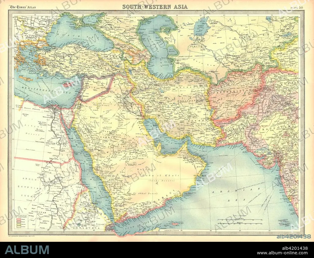
Political map of South Western Asia. Artist: Unknown.
| Share |
|---|
 Pinterest Pinterest |
 Twitter Twitter |
 Facebook Facebook |
 Copy link Copy link |
 Email Email |
|
Add to another lightbox |
|
Add to another lightbox |


Title:
Political map of South Western Asia. Artist: Unknown.
Caption:
Political map of South Western Asia. Map of the Near and Middle East, showing parts of East Africa and the Arabian Peninsula. Plate 50 from The Times Atlas.
Credit:
Album / Heritage Images / The Print Collector
Releases:
Model: No - Property: No
Rights questions?
Rights questions?
Image size:
4600 x 3553 px | 46.8 MB
Print size:
38.9 x 30.1 cm | 15.3 x 11.8 in (300 dpi)
Keywords:
AFGHANISTAN • AFRICA • AFRICAN CONTINENT • AFRICAN • ARABIAN SEA • ASIA • BLACK SEA • CARTOGRAPHY • CASPIAN SEA • COLOR • COLOUR • CONTINENT • COUNTRY • EGYPT • GEOGRAPHICAL FEATURE • GEOGRAPHY • IRAN • IRAQ • LOCATION • MAP MAKING • MAP • MAP-MAKING • MEDITERRANEAN SEA • MEDITERRANEAN • MIDDLE EAST • MIZRAIM • PAKISTAN • RED SEA • SAUDI ARABIA • SEA • WESTERN ASIA
