alb4090842
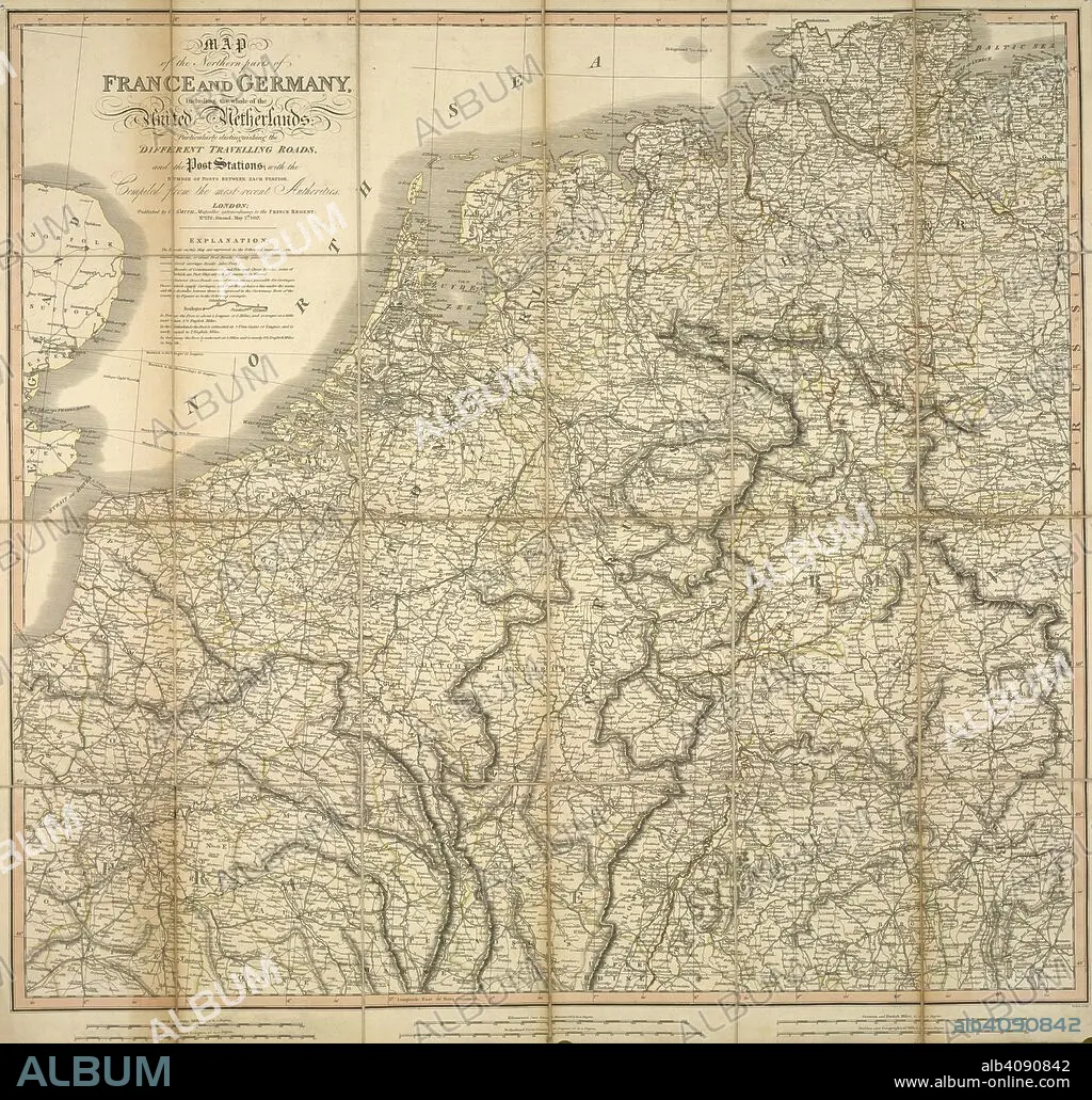
A map of the northern parts of France and Germany, including the whole of the United Netherlands. Map of the northern parts of France and Germany, including the whole of the United Netherlands, particularly distinguishing the different travelling roads...compiled from the most recent authorities. London : Published by C. Smith, Mapseller extraordinary to the Prince Regent, Nº. 172 Strand,, May 1st 1817. Source: Maps CC.5.a.207. Language: English.
| Share |
|---|
 Pinterest Pinterest |
 Twitter Twitter |
 Facebook Facebook |
 Copy link Copy link |
 Email Email |
|
Add to another lightbox |
|
Add to another lightbox |


Caption:
A map of the northern parts of France and Germany, including the whole of the United Netherlands. Map of the northern parts of France and Germany, including the whole of the United Netherlands, particularly distinguishing the different travelling roads...compiled from the most recent authorities. London : Published by C. Smith, Mapseller extraordinary to the Prince Regent, Nº. 172 Strand,, May 1st 1817. Source: Maps CC.5.a.207. Language: English.
Credit:
Album / British Library
Releases:
Model: No - Property: No
Rights questions?
Rights questions?
Image size:
4890 x 4671 px | 65.3 MB
Print size:
41.4 x 39.5 cm | 16.3 x 15.6 in (300 dpi)
Keywords:
19TH CENTURY • CARTE • CARTOGRAPHIC • CARTOGRAPHY • CENTRAL EUROPE • EUROPE • FRANCE • GERMANY • HOLLAND • MAP MAKING • MAP • NETHERLANDS • NORTHERN EUROPE • PLAN (CARTOGRAPHY) • WESTERN EUROPE
