alb2013535
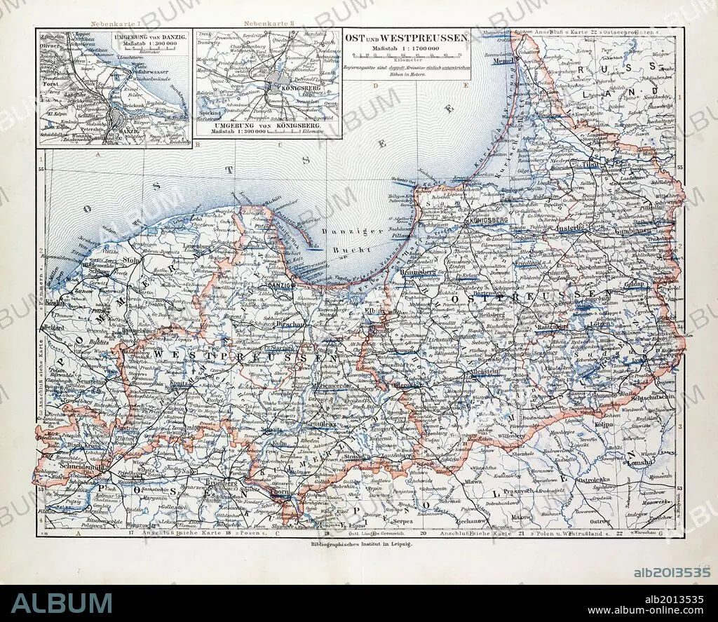
MAP OF EAST AND WEST PRUSSIA, KÖNIGSBERG (KALININGRAD, RUSSIA) AND DANZIG (POLAND), 1899.
| Share |
|---|
 Pinterest Pinterest |
 Twitter Twitter |
 Facebook Facebook |
 Copy link Copy link |
 Email Email |
|
Add to another lightbox |
|
Add to another lightbox |


Caption:
MAP OF EAST AND WEST PRUSSIA, KÖNIGSBERG (KALININGRAD, RUSSIA) AND DANZIG (POLAND), 1899
Credit:
Album / quintlox
Releases:
Model: No - Property: No
Rights questions?
Rights questions?
Image size:
5975 x 4866 px | 83.2 MB
Print size:
50.6 x 41.2 cm | 19.9 x 16.2 in (300 dpi)
Keywords:
1899 • COMMUNISM: POLAND • DANZIG • EAST • KALININGRAD • KÖNIGSBERG • MAP • NINETEENTH CENTURY MAP • ORIENT • PLAN (CARTOGRAPHY) • POLAND • POLAND: COMMUNISM • POLAND: POSTWAR • POSTWAR: POLAND • PRUSSIA • RUSIA • RUSSIA • WEST
