alb9203173
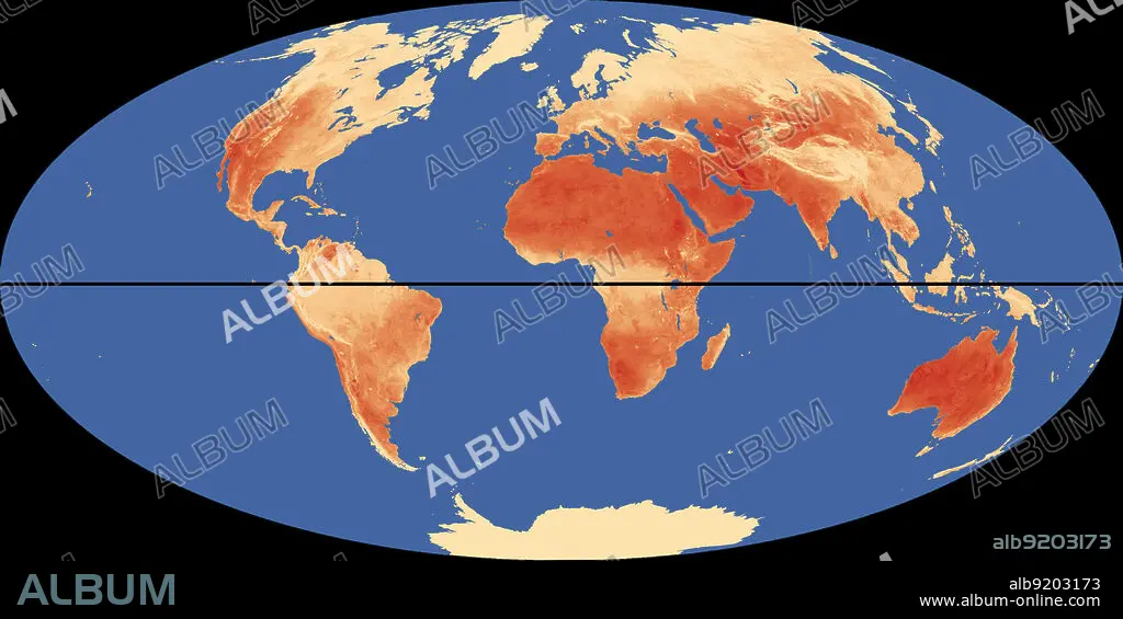
World Map with Equator and Hottest Places
| Share |
|---|
 Pinterest Pinterest |
 Twitter Twitter |
 Facebook Facebook |
 Copy link Copy link |
 Email Email |
|
Add to another lightbox |
|
Add to another lightbox |


Title:
World Map with Equator and Hottest Places
Caption:
Outline of world map, showing the hottest places (in red) relative to the equator (in black).
Credit:
Album / Science Source / Jessica Wilson/NASA
Releases:
Model: No - Property: No
Rights questions?
Rights questions?
Image size:
Not available
Print size:
Not available
Keywords:
ART • BV6622 • CIPHER • COMPUTER • CONTINENT • DEGREES • DESERT • EARTH • EQUATOR • FLEET • GLOBAL • GRAPHIC • HIGHEST • HOT • HOTTEST • INFOGRAPHIC • LATITUDE • MAP • MARINE • METEOROLOGY • METEOROLOGY • NAUGHT • NAVY • NOUGHT • OCEAN • OUTLINE • PLACE • PLACES • SEA • TEMPERATURE • TEMPERATURES • WEATHER • WORLD • ZERO
