alb4197071
Map of the North Atlantic Ocean. Artist: Unknown.
| Share |
|---|
 Pinterest Pinterest |
 Twitter Twitter |
 Facebook Facebook |
 Copy link Copy link |
 Email Email |
|
Add to another lightbox |
|
Add to another lightbox |


Title:
Map of the North Atlantic Ocean. Artist: Unknown.
Caption:
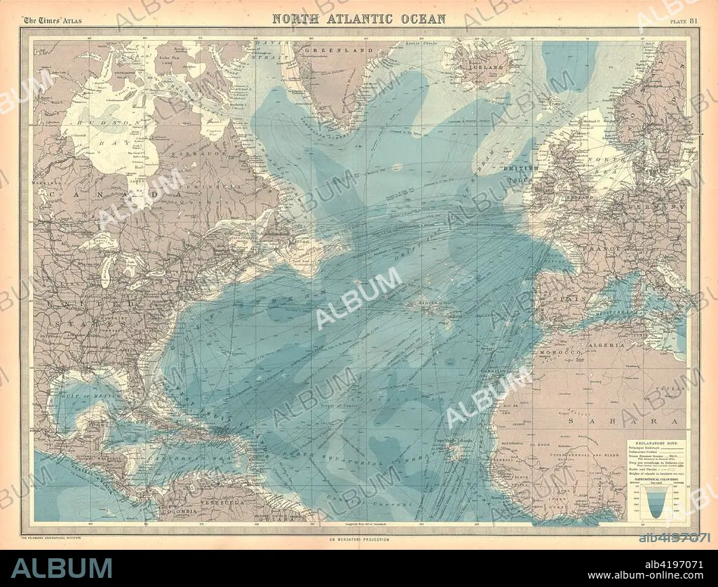
Map of the North Atlantic Ocean. Map showing western Europen and Iceland, Greenland, eastern Canada and the United States, Central American and the Caribbean, and West Africa. Plate 81 from The Times Atlas.
Credit:
Album / Heritage Images / The Print Collector
Releases:
Model: No - Property: No
Rights questions?
Rights questions?
Image size:
4630 x 3547 px | 47.0 MB
Print size:
39.2 x 30.0 cm | 15.4 x 11.8 in (300 dpi)
Keywords:
ATLANTIC OCEAN • ATLANTIC • CANADA • CARIBBEAN • CARTOGRAPHY • CENTRAL AMERICA • COLOR • COLOUR • CONTINENT • EUROPE • FLEET • GEOGRAPHICAL FEATURE • GEOGRAPHY • GREENLAND • GREENLAND: GRL • ICELAND • LOCATION • MAP MAKING • MAP • MAP-MAKING • MARINE • NAVY • NORTH AND CENTRAL AMERICA • NORTH ATLANTIC • OCEAN • OCEAN, ATLANTIC • SEA • UNITED STATES OF AMERICA • WEST AFRICA
