alb3856204
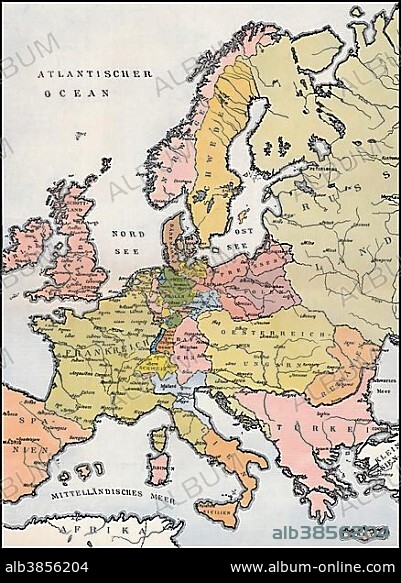
Map of Europe, 1809, historical illustration, 19th century.
| Share |
|---|
 Pinterest Pinterest |
 Twitter Twitter |
 Facebook Facebook |
 Copy link Copy link |
 Email Email |
|
Add to another lightbox |
|
Add to another lightbox |


Caption:
Map of Europe, 1809, historical illustration, 19th century
Credit:
Album / ImageBroker / Heinz-Dieter Falkenstein
Releases:
Model: No - Property: No
Rights questions?
Rights questions?
Image size:
438 x 600 px | 769.9 KB
Print size:
3.7 x 5.1 cm | 1.5 x 2.0 in (300 dpi)
Keywords:
CARD • CARDBOARD • CARDS • CHARTS • COUNTRIES • COUNTRY • DEPICTION • EUROPE • GEOGRAPHIC • GEOGRAPHICAL • GEOGRAPHY • GRAPHIC • GRAPHICAL • GRAPHICS • HISTORY • ILLUSTRATED • ILLUSTRATION • IMAGE MOTIF • LETTERING • LETTERINGS • MAP • MAPS • NAME • NAMES • NO ONE • NO PEOPLE • NO-ONE • NOBODY • OLD • STATE • STATES • WITHOUT PEOPLE
