alb3929000
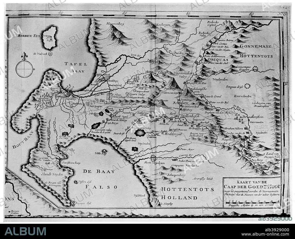
A map of the Cape of Good Hope in the time of the van der Stels, South Africa, 18th century (1931). Artist: Unknown
| Share |
|---|
 Pinterest Pinterest |
 Twitter Twitter |
 Facebook Facebook |
 Copy link Copy link |
 Email Email |
|
Add to another lightbox |
|
Add to another lightbox |


Title:
A map of the Cape of Good Hope in the time of the van der Stels, South Africa, 18th century (1931). Artist: Unknown
Caption:
A map of the Cape of Good Hope in the time of the van der Stels, South Africa, 18th century (1931).
Credit:
Album / The Print Collector / Heritage Images
Releases:
Model: No - Property: No
Rights questions?
Rights questions?
Image size:
4799 x 3645 px | 50.0 MB
Print size:
40.6 x 30.9 cm | 16.0 x 12.2 in (300 dpi)
Keywords:
18TH CENTURY • 18TH CENTURY, THE • AFRICA • AFRICAN CONTINENT • AFRICAN • AGRICULTURE • ALCOHOL • ARTS • BLACK & WHITE • BLACK AND WHITE • BOOK • CAPE OF GOOD HOPE • CENTURY • CONTINENT • COUNTRY • DOROTHEA FAIRBRIDGE • DOROTHEA • DRINK • EIGHTEENTH CENTURY • FAIRBRIDGE • FARMING • HISTORIC FARMS OF SOUTH AFRICA • LITERATURE • LOCATION • MAP • MONOCHROMATIC • MONOCHROME • PRINT • SOUTH AFRICA • SOUTH AFRICAN • TERRAIN • VERGELEGEN • WINE MAKING • WINE
