alb3547855
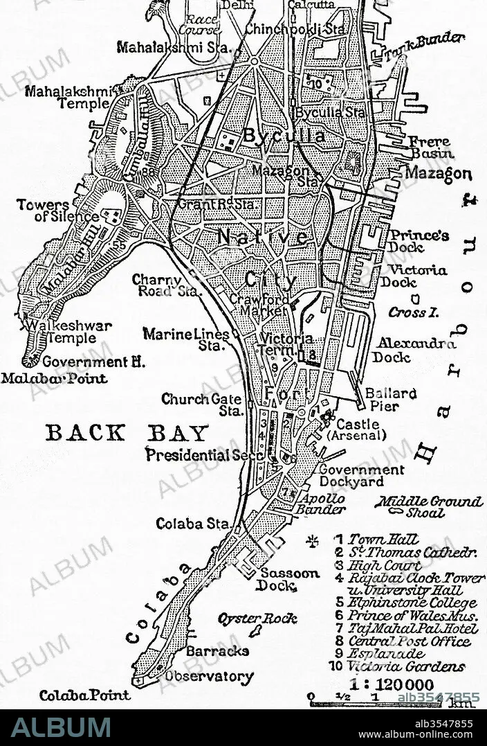
Map of Bombay, India, circa 1920
| Share |
|---|
 Pinterest Pinterest |
 Twitter Twitter |
 Facebook Facebook |
 Copy link Copy link |
 Email Email |
|
Add to another lightbox |
|
Add to another lightbox |


Title:
Map of Bombay, India, circa 1920
Caption:
Map of Bombay, India, c. 1920. From Meyers Lexicon, published 1924.
Credit:
Album / Universal Images Group / Universal History Archive
Releases:
Model: No - Property: No
Rights questions?
Rights questions?
Image size:
3624 x 5274 px | 54.7 MB
Print size:
30.7 x 44.7 cm | 12.1 x 17.6 in (300 dpi)
Keywords:
20 XX TWENTIETH CENTURY • 20TH CENTURY • 20TH • BOMBAY • C. 1920 • CAPITAL • CENTURY • CITY • COUNTRY • GEOGRAPHICAL • GEOGRAPHY • HISTORIA UNIVERSAL • HISTORICAL • HISTORY • ILLUSTRATION • INDIA • INDIAN • INDIGENOUS PEOPLES OF THE AMERICAS • INDIO • MAP • MUMBAI • PLAN (CARTOGRAPHY) • TWENTIETH CENTURY • TWENTIETH
