alb3547570
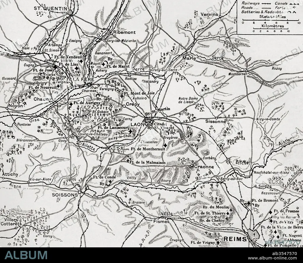
Map illustrating the region of the First Battle of the Aisne, fought along the Rivers Aisne, Oise and Somme, France during WWI
| Share |
|---|
 Pinterest Pinterest |
 Twitter Twitter |
 Facebook Facebook |
 Copy link Copy link |
 Email Email |
|
Add to another lightbox |
|
Add to another lightbox |


Title:
Map illustrating the region of the First Battle of the Aisne, fought along the Rivers Aisne, Oise and Somme, France during WWI
Caption:
Map illustrating the region of the First Battle of the Aisne, fought along the Rivers Aisne, Oise and Somme, France during WWI. From The War Illustrated Album Deluxe, published 1915.
Credit:
Album / Universal Images Group / Universal History Archive
Releases:
Model: No - Property: No
Rights questions?
Rights questions?
Image size:
4835 x 3957 px | 54.7 MB
Print size:
40.9 x 33.5 cm | 16.1 x 13.2 in (300 dpi)
Keywords:
1ST WORLD WAR • AISNE • BATTLE • COMBAT • DISPUTE • FIGHT • FIGHTING • FIRST BATTLE OF THE AISNE • FIRST WORLD WAR • FIRST • FRANCE • FRONT • GREAT • HUNDRED YEARS WAR • MAP • ONE • PLAN (CARTOGRAPHY) • REGION • RIVER • RIVERS OISE • SCUFFLE • SOMME • STRUGGLE • WAR • WESTERN • WORLD WAR I (1914-18) • WORLD WAR I • WORLD • WWI
