alb2012448
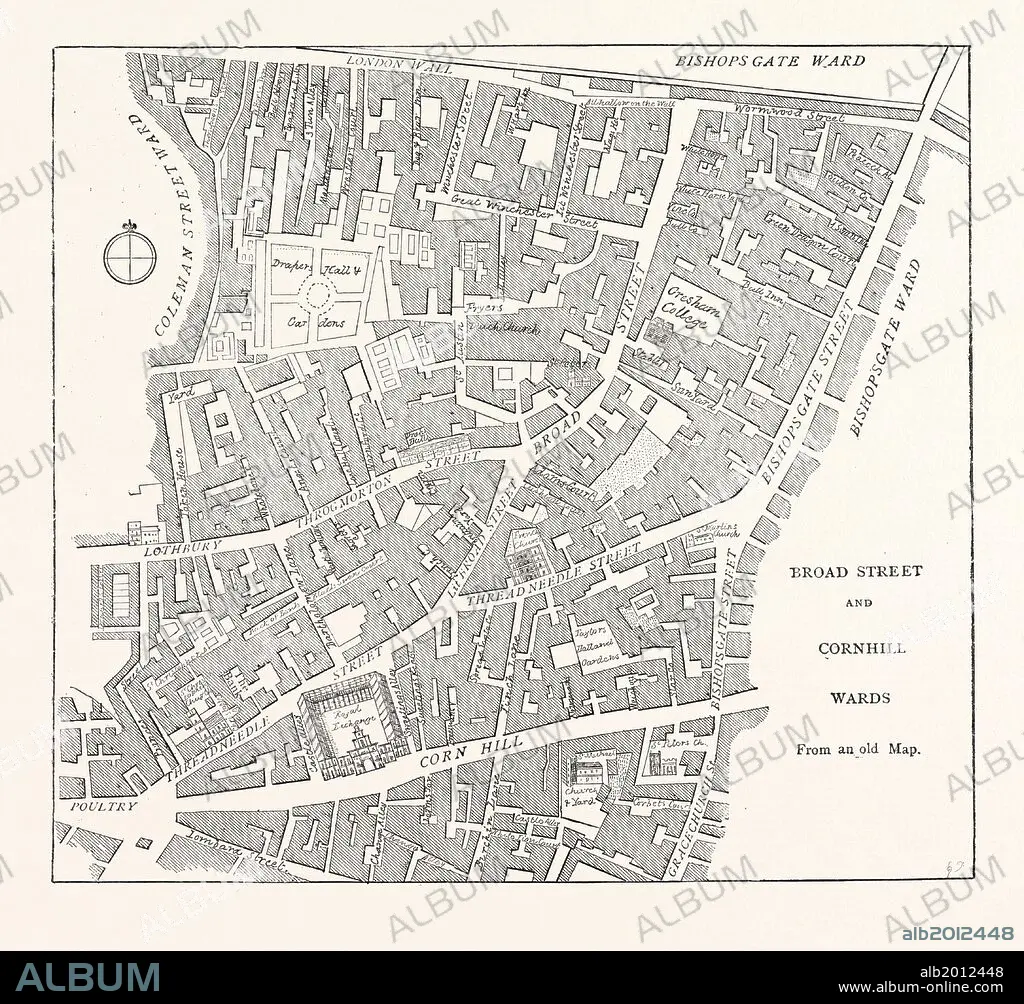
BROAD STREET AND CORNHILL WARDS, From a Map of 1750, LONDON.
| Share |
|---|
 Pinterest Pinterest |
 Twitter Twitter |
 Facebook Facebook |
 Copy link Copy link |
 Email Email |
|
Add to another lightbox |
|
Add to another lightbox |


Caption:
BROAD STREET AND CORNHILL WARDS, From a Map of 1750, LONDON
Credit:
Album / quintlox
Releases:
Model: No - Property: No
Rights questions?
Rights questions?
Image size:
4579 x 4252 px | 55.7 MB
Print size:
38.8 x 36.0 cm | 15.3 x 14.2 in (300 dpi)
Keywords:
1750 • BROAD STREET • CITY OF LONDON • CORNHILL • LONDON • MAP • MAPS • NINETEENTH CENTURY ENGRAVING • PLAN (CARTOGRAPHY) • UK • WARDS
